


BOZEMAN – A gradual cooling trend will continue through early next week with the coldest air temperatures arriving on Sunday.
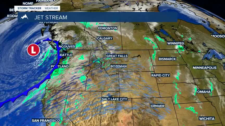
A Pacific storm is digging into the Pacific NW Wednesday afternoon, and this will bring scattered showers and a few isolated thunderstorms to SW Montana Thursday through Saturday.
A slower moving area of Low-pressure will also dig into Montana this weekend and snow levels will fall to the valley floor Saturday night into Sunday morning. Accumulating snow should remain over mountains and passes during this time.
As this system moves and skies clear look for a hard freeze with morning lows by Monday and Tuesday morning.
