

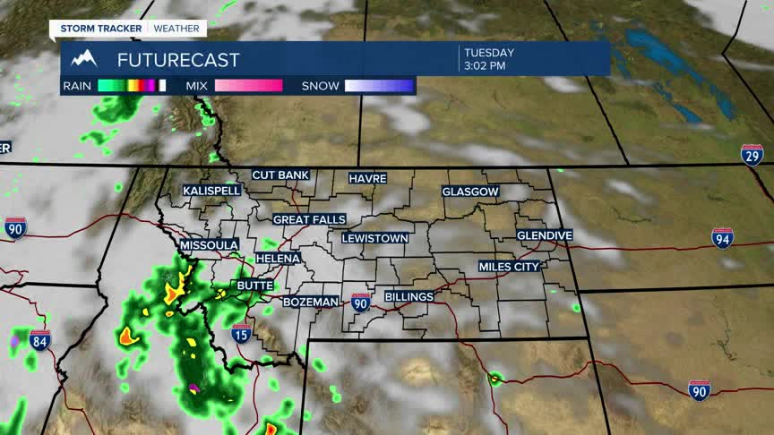


BOZEMAN – Crazy weather pattern regionally with as low moving area of Low pressure digging into Oregon and a very strong High pressure ridge lifting into NE Montana.
This is creating huge temperature contrasts with 60s across western Montana Tuesday afternoon and upper 90s in NE Montana.
95 to 105 degree heat is building over NE Montana Tuesday afternoon with numerous record highs likely and possibly the hottest place in the United States today.
Looking into the western half of Montana thunderstorms will be the primary weather threat Tuesday afternoon with the Storm Prediction Center holding a “marginal” or low risk for a few severe thunderstorms. Damaging outflow wind gusts are the primary concern out of these thunderstorms. There could be some brief heavy rain and small hail with today’s rumbles and of course frequent lightning could create new wildfires.
