BOZEMAN – Upper-level trough is on the move and slowly drifting to the east and covers the entire western half of the country. This will produce scattered snow showers locally and over most of the southern, central and northern Rockies through Saturday.
SW Montana valleys could see between 1”-4” of snow Friday afternoon through Saturday morning and most mountain passes could see 1”-6” of snow. Just enough snow to produce wintry travel conditions with icy surfaces by Saturday morning.

Temperatures should warm above freezing by Saturday afternoon and that in turn should help thaw most roads improving travel conditions for the rest of the weekend.
The National Weather Service has extended WINTER STORM WARNINGS and Winter Weather Advisories along the Montana-Idaho border.
Locally, far southern Beaverhead, Madison and Gallatin counties are under a Winter Weather Advisory through 5 am Saturday with an additional 2”-5” of snow possible especially for Monida pass, Raynolds pass, Targhee pass and West Yellowstone.
Winter Storm Warning on the Idaho side of Monida pass through Island Park, ID continues through 10 pm Friday night. An additional 4”-9” of snow is possible above 6,000 feet.
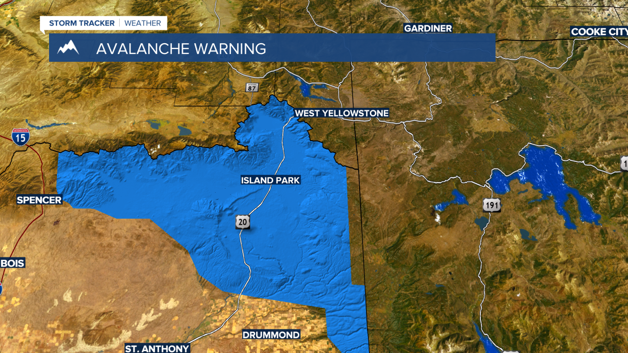
There is also an AVALANCHE WARNING issued through Sunday morning in the Island Park, ID area. Avalanche danger is rated HIGH on all slopes. Natural and human triggered slides are very likely with the recent heavy snow loading.

______________________________________________________________________________________________________________________
A pattern change is likely across Montana late next week with several rounds of Arctic air dropping down into Montana beginning February 6th through February 8th. It is way too early to pinpoint the severity of the colder air right now but plan on cold and snow to impact Montana for the first half of February.


