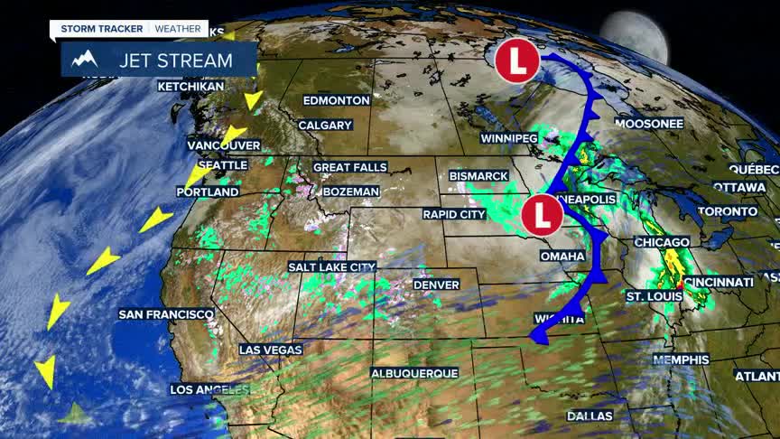


BOZEMAN – A deep trough of Low Pressure is stalled across the western U.S. and the allows colder Canadian air to drift southward locking us into a cooler than normal pattern.
The big storms that created this trough are drifting well downstream of Montana and that means a lesser chance for rain or snow. The only exception to that is in the late afternoon hours with a little surface heating and with slightly better lift mechanics we can get a few pop-up rain or snow showers over the next few days.
By the end of the week this trough will finally erode, and a nice warming trend will begin across the entire region.
