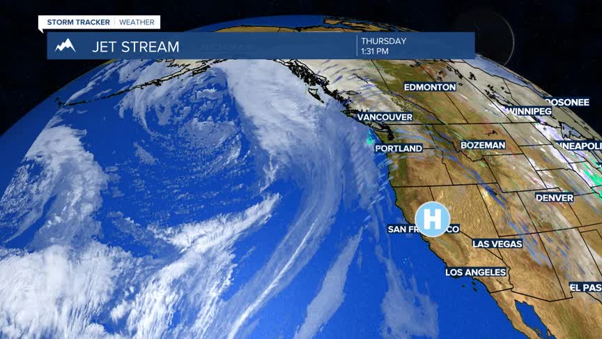
BOZEMAN – A pattern change is coming soon to the western half of the country including Montana.
The Climate Prediction Center’s 8 to 14 day outlook shows a colder than normal pattern and a slightly wetter than normal pattern is possible for the last 2 weeks of January.


A FLOOD ADVISORY continues along the Jefferson River near Three Forks as an ice jam is once again backing up water causing river levels to stay above minor flood stage.

The flood advisory will remain in place for several days or until the ice jam breaks up. Be extremely careful around the Missouri Headwaters State Park as the ice jam could break open at any time sending a wall of water, ice, and debris downstream.
Short-term forecast is cool today with a N-NW flow aloft but that flow will swing out of the SW beginning Friday and should help temperatures rise slightly above normal. There are a few weak disturbances to pass the region producing scattered snow showers. The first system will be Friday night and another Sunday night into Monday morning.


