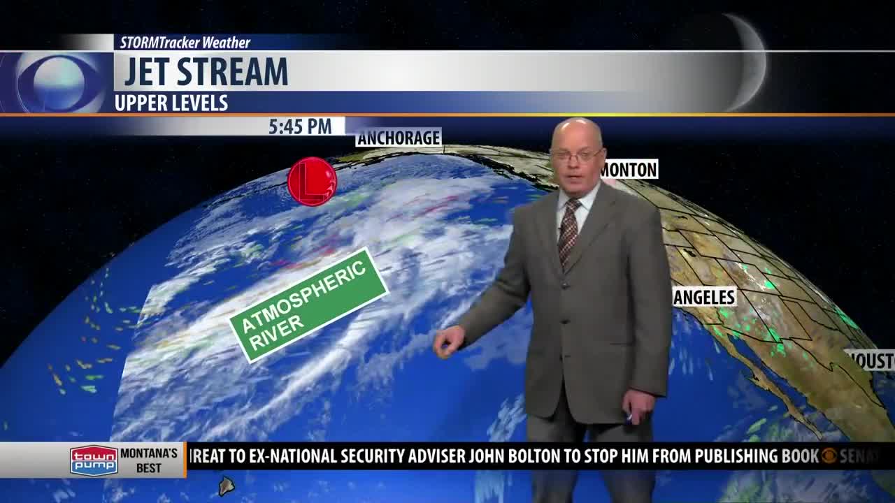
BOZEMAN – From one extreme to the other across Montana this weekend into next week. Above normal temperatures Saturday to well below normal temperatures by Monday.
Before we hop on the wild weather roller-coaster this weekend you need to watch for another shot of snow Wednesday evening into Thursday morning. Snow accumulations should be light with just enough snow to produce icy roads for your Thursday morning commute.
Beginning Friday, the flow aloft will turn sharply out of the SW and begin to push temperatures slightly above normal. By Saturday, a strong SW flow and a stronger pressure gradient will produce wind gusts 30 to 60 mph for most of SW Montana but that will help temperatures jump into the 50’s.
Damaging wind gusts are possible along the Rocky mountain front and adjacent plains with peak wind gusts between 60 to 90 mph Saturday.
Elevated fire weather conditions are possible Friday into Saturday. The lack of lower valley ground snow, dry grasses, unseasonably warm temperatures, lower humidity, and strong wind gusts will produce higher fire danger. Please be very careful with outdoor activities Friday to Saturday.
Record highs or near record high temperatures are possible for SW Montana Saturday. Forecast highs will likely reach the low to mid 50’s. Record highs for February 1st vary from the mid 40’s in West Yellowstone to the lower 60’s at Bozeman MSU. As you can see in the graphic, Belgrade has a forecast high slightly above your record and Dillon could be within one degree of your record high Saturday.
The next big pattern change will begin to hit the region Saturday night and Sunday. Much colder air will drop in with an upper level trough and produce areas of rain or snow, gusty winds, and a sharp temperature drop. This will lead to difficult wintry travel hazards Sunday into Monday.
Temperatures early next week will fall down into the teens and 20’s for highs by Monday.


