


BOZEMAN – Several chances for mountain snow is in the forecast over the next few days, but most of these storms look to be on the weaker side.
A weakening system over the central Rockies has only a slight chance for mountain snow around West Yellowstone Thursday night.
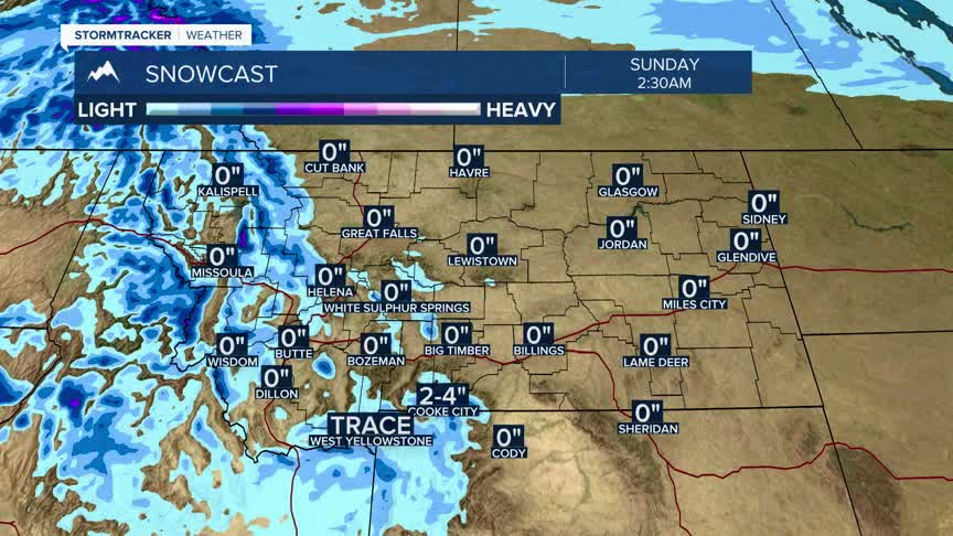
A series of weak systems moving through the Pacific NW will bring an increasing chance of mountain snow Friday through Sunday. Mountain ranges along the MT/ID state line will see the higher probability of snow with possible minor travel impacts for Lookout, Lolo, and Lost Trail passes.
The Upper Big Hole and Pintler Range will also see some mountain snow Friday through Sunday.
A stronger cold front will arrive on Tuesday producing a better chance for valley and mountain snow along with cooler temperatures. West Yellowstone has the best chance for daily snowfall beginning Tuesday of next week and the rest of SW Montana could see snow Tuesday and off and on flurries through the middle of next week.
