BOZEMAN – A stronger westerly flow will continue this weekend through most of next week. This will greatly improve temperatures overall and will bring slightly above normal temperatures by Monday.
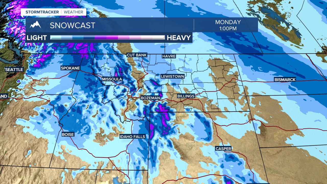
There will be some moisture pushing into western and SW Montana this weekend into early next week. Several storms will slam into the Pacific NW and Bristish Columbia and some of that energy will spill into Montana.
If you have travel plans watch for scattered mountain snow over all local and regional mountain passes. There could be some rain or even small pockets of freezing rain at lower elevations that could produce very icy road surfaces.
The National Weather Service has a WINTER WEATHER ADVISORY up for SW Montana through early Saturday morning with 1”-3” of snow possible especially at pass level along with localized wind gusts to 35 mph that could produce some areas of blowing snow and lower visibility.