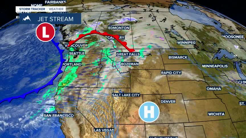


BOZEMAN – High wind event will impact the entire region Wednesday. A strong cold front along with a strong Polar Jet stream will produce potentially damaging wind gusts Tuesday evening through Wednesday evening.
The National Weather Service has a variety of High Wind Watches, Warnings, and Advisories Tuesday evening through Thursday morning. Peak gusts up to or over 60 mph are possible beginning Wednesday morning with the strongest peak gusts likely late morning through early evening on Wednesday.
All of SW Montana will be impacted by this high wind event. Power outages are possible along with property damage. Now is the time to secure all items that could be easily blown away in and around your home.
There will be some scattered rain and snow with this cold front,and the best chance for areas of blowing snow will be over higher mountain passes Tuesday into Wednesday.
A Winter Storm Watch is up for Yellowstone National Park.
