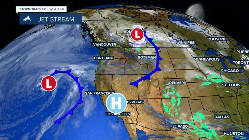


BOZEMAN – A dry cold front with wind and no moisture is passing through Montana Tuesday afternoon and evening.
This front will produce locally windy conditions through the early evening hours Tuesday.
The National Weather Service continues Wind Advisories west of the divide with possible peak gusts 40 to 50 mph through 9 pm Tuesday.
The National Weather Service also continues High Wind WARNINGS east of the divide around SW Montana through 9 pm Tuesday. Peak wind gusts up to 60 mph are possible. Locations include:Dillon, Ennis, Boulder, Bozeman Pass, Wilsall, Livingston, Big Timber and up into Central Montana.
Temperatures will be slightly cooler Wednesday and Thursday but will rise again into the lower to upper 60s Friday and Saturday.
The next best chance for cool wet weather will arrive Sunday afternoon through Monday of next week.
