

BOZEMAN – A progressive weather pattern will continue through next weekend for most of Montana with cool, wet, and windy on most days and only a few mild and dry days between storms.
Sunday night a weak and disorganized disturbance will push into Montana with another shot of snow for most mountain passes by Monday morning. Snow should be on light side with a couple of inches possible over mountain passes in SW Montana but along the MT/ID state line Lookout pass on I-90 could see 2”-4” and that is why a Winter Weather Advisory is up for far western Montana tonight into Monday morning.
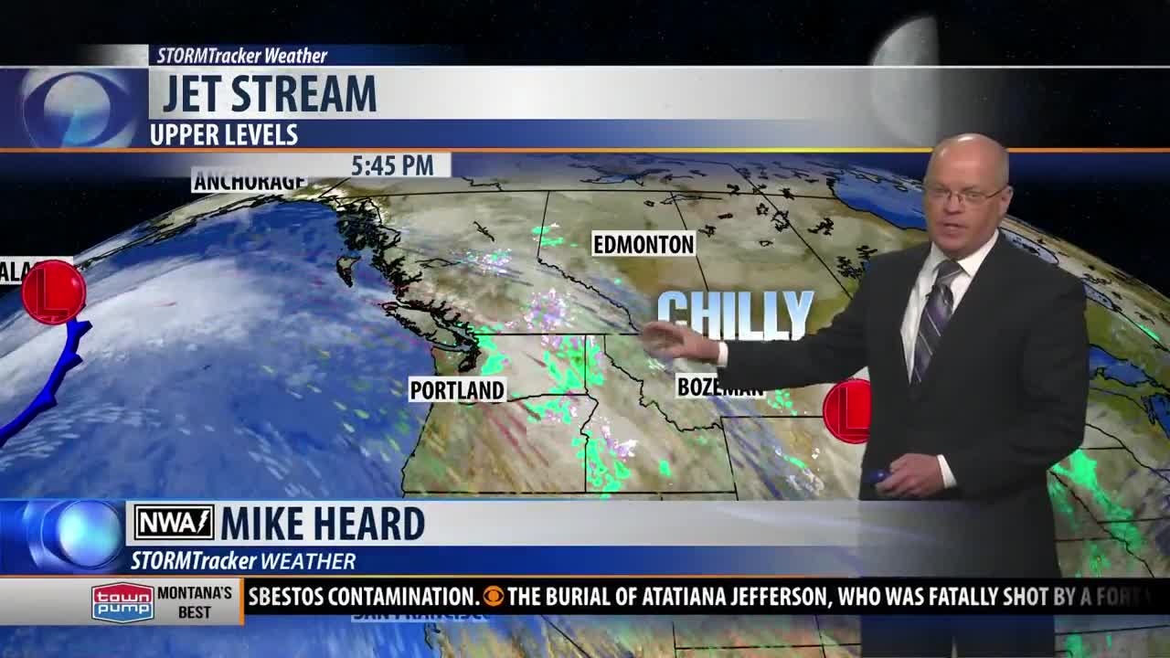
Storms just keep on tracking along the jet stream with a stronger system arriving Monday night. This storm is slightly warmer and thus lower valleys could see mixed precipitation and more mountain snow will impact the region Tuesday into Wednesday morning.
Plan on slow go commutes Monday morning, Tuesday morning, and Wednesday morning especially if you must travel over mountain passes. Periods of snow and wind will continue to keep area highways icy through Wednesday morning.
A brief break in the active pattern will arrive Thursday and Friday with a weak High-pressure ridge building over the region. Temperatures could jump up into the 50s to lower 60s.
Unfortunately, another strong pacific storm will bring a wintry pattern back into Montana next Saturday and turning much colder behind the snow storm beginning Sunday. Forecast highs will drop well below normal down into the 30s by Sunday afternoon.
