


The above on demand STORMTracker video forecast with Meteorologist Carson Vickroy will walk you through the forecast hour by hour for next 24 hours so you can have an idea of what the start of your week will look like.
Some spotty rain is possible this evening and tonight before a more potent storm arrives tomorrow.
For Monday and Tuesday:
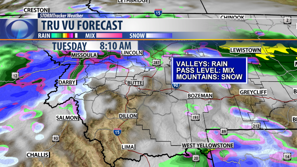
Under 5000′: Rain
5000′ to 7000′: Mix
Above 7000′: Snow
City by City Forecast:
BOZEMAN: LOW: 37°; HIGH MONDAY: 52°. A mild and wet night is expected for Bozeman. We’ll have on and off rainfall tomorrow that could get in the way of outdoor plans. Otherwise, highs and lows will be around average. Chance of Precipitation: 80%.
BUTTE: LOW: 33°; HIGH MONDAY: 52°. Precipitation will remain all rain for Butte. However, passes like Homestake and Macdonald could get a mixture of snow. Travel impacts will be minimal with temperatures expected to remain above freezing when the rain is falling. Chance of Precipitation: 60%
DILLON: LOW: 36°; HIGH MONDAY: 53°.On and off rain is expected tonight. A more widespread wave of rain will arrive tomorrow and bring chances throughout the day. Chance of Precipitation: 60%
WEST YELLOWSTONE: LOW: 31°; HIGH MONDAY: 48°. On and off rain is expected through this evening. We could see a brief transition over to snow tonight with a rain/snow mix possible tomorrow. No snow accumulation is expected. Chance of Precipitation: 60%.
NEXT WEEK
Most of us will see rain and mountain snow Monday and Tuesday. The potential for accumulating snow for all locations will occur Tuesday into Wednesday morning when a cold front will move through the area bringing us colder temps. We’ll remain partly cloudy with a slight chance of showers both Thursday, and Friday. Stay tuned for more updates from the KBZK and KXLF STORMTracker weather team.
