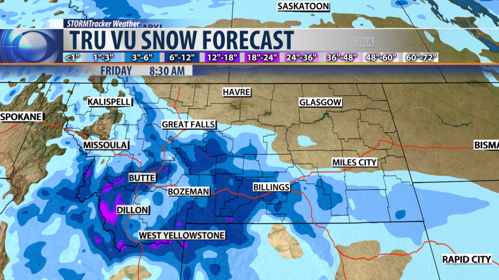
BOZEMAN – Springtime in Montana is a tug-o-war between winterlike weather patterns and warming weather trends. Today is a classic example with flooding issues from lower valley snowmelt continuing to impact SW Montana east of the divide and the next winter storm moving into Montana Wednesday evening.
FLOOD HIGHLIGHTS
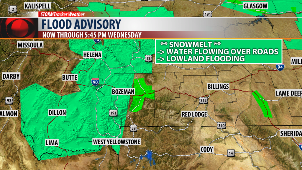
The National Weather Service continues a FLOOD ADVISORY for SW Montana East of the divide through Wednesday evening.
Lowland flooding is occurring and in poor drainage areas is producing flooding issues and washed out roads. This will likely continue into Wednesday evening and then subside as colder temperatures return to the region.
The National Weather Service also continues a FLOOD WARNING for Central Park County through Wednesday evening from Chico Hot Springs to Livingston up to Wilsall.
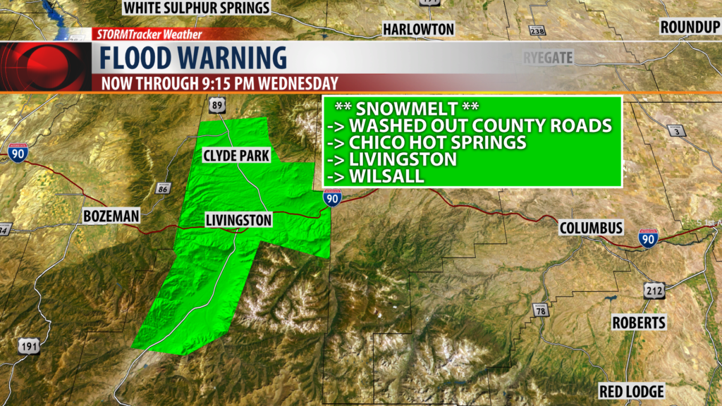
Lowland flooding from valley snowpack melting is producing considerable flooding issues along with numerous washed out county roads.
NEXT WEATHER MAKER
The next two weather makers will bring back a wintry weather pattern to Montana and hit the Southern half of the state very hard Wednesday evening through Friday morning.
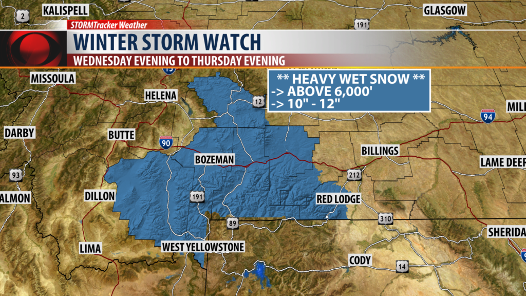
The National Weather Service has a WINTER STORM WATCH up for Madison, Gallatin, Park, and Meagher counties Wednesday evening through Thursday evening above 6,000′.
Heavy wet snow is likely with up to a foot or more above 6,000′.
Travel will be impacted along I-90 from Butte to Bozeman over to Billings.
Valleys will likely see periods of moderate wet snow as well Wednesday through Friday morning.