


BOZEMAN – The next weather maker is here! This is a slow moving upper level Low and deep trough of Low pressure. This storm system will take up to 3 days to move through the Northern Rockies.
Rain today will change over to a rain/snow mix tonight and mostly all snow Thursday and Friday for lower valleys and heavy wet snow over area mountain passes. Plan on difficult travel conditions with lower visibility, snow-covered to slushy roads and possible ice.
Minor flooding continues throughout SW Montana and with this storm moving in tonight with ample moisture look for continued flooding through Friday and possibly into the weekend especially for poor drainage areas and low lying areas.
WINTER STORM WARNING
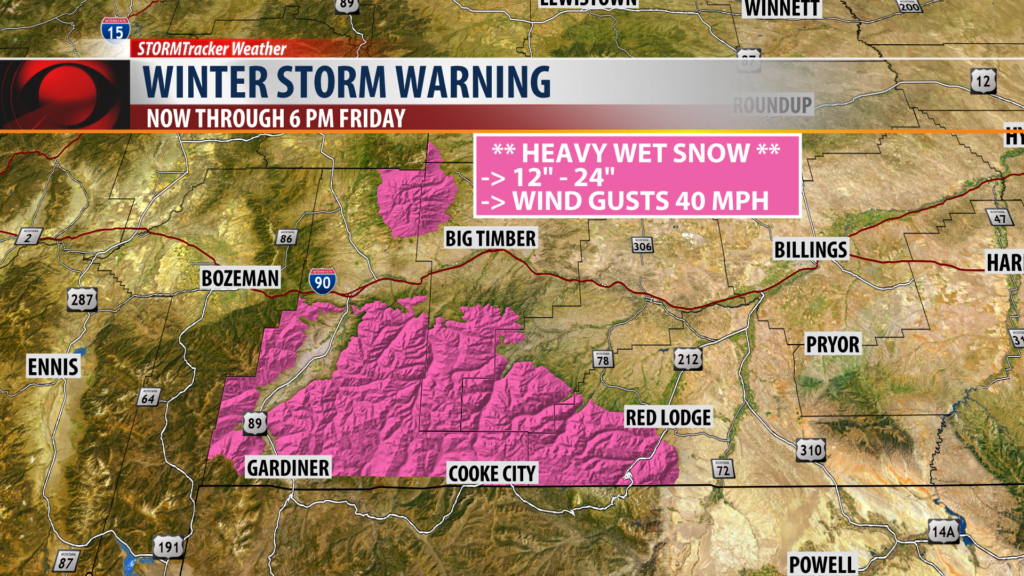
The National Weather Service issued a WINTER STORM WARNING for backcountry areas in the Cooke City to Gardiner area of the Absaroka-Beartooth mountains and for the Crazy Mountains tonight through Friday evening.
Snow accumulations of 1 to 2 feet are likely along with stronger wind gusts.
WINTER WEATHER ADVISORY
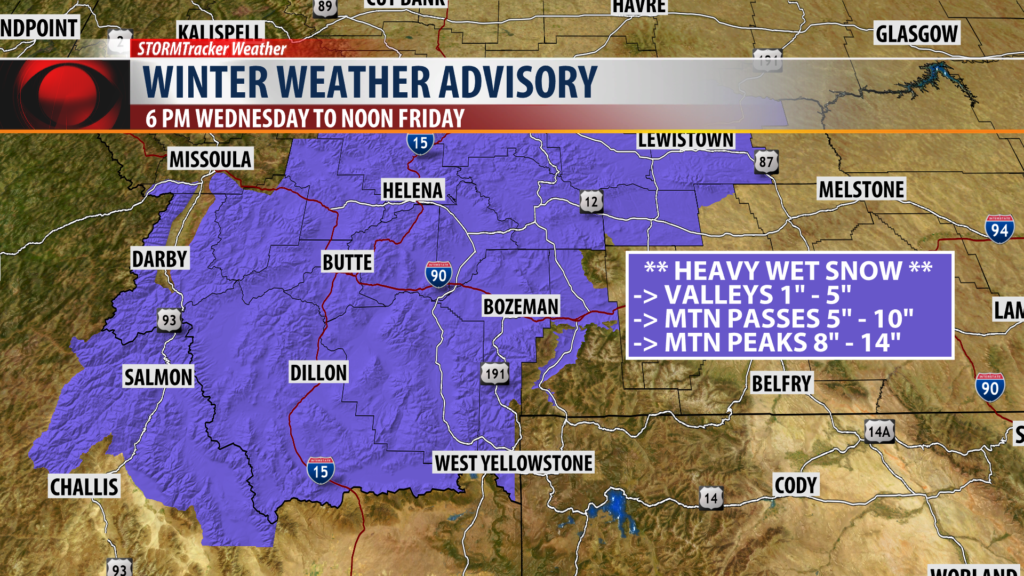
The National Weather Service issued a Winter Weather Advisory for SW Montana tonight through Friday afternoon for snow and wintry travel impacts.
Snow accumulations will be widespread for SW Montana but lower valleys could see between 1″ – 5″ of snow, mountain passes 5″ – 10″ of snow, and higher mountain peaks could pick up a foot or more of snow.
This will be a Springtime snow event. This means the snow will have a higher water content.
FLOOD HIGHLIGHTS
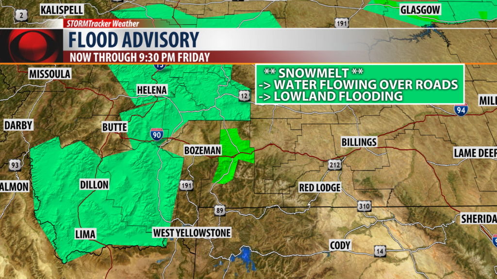
The National Weather Service has extended a FLOOD ADVISORY through 9:30 pm Friday for Beaverhead, Madison, Jefferson, Broadwater, and Meagher counties in SW Montana.
Minor flooding is likely to continue especially for low lying areas and poor drainage areas due to melting snow and additional rain or snow through Friday.
