

BOZEMAN – The next weather maker is a Pacific storm system that is hitting the NW coast this afternoon and will reach Montana by Tuesday morning.
Ahead of this storm temperatures Monday afternoon were mostly in the 50s and that is slightly above normal for most areas but once the storm hits tomorrow temperatures will be cooling and after the storm leaves temperatures will be colder by Wednesday.
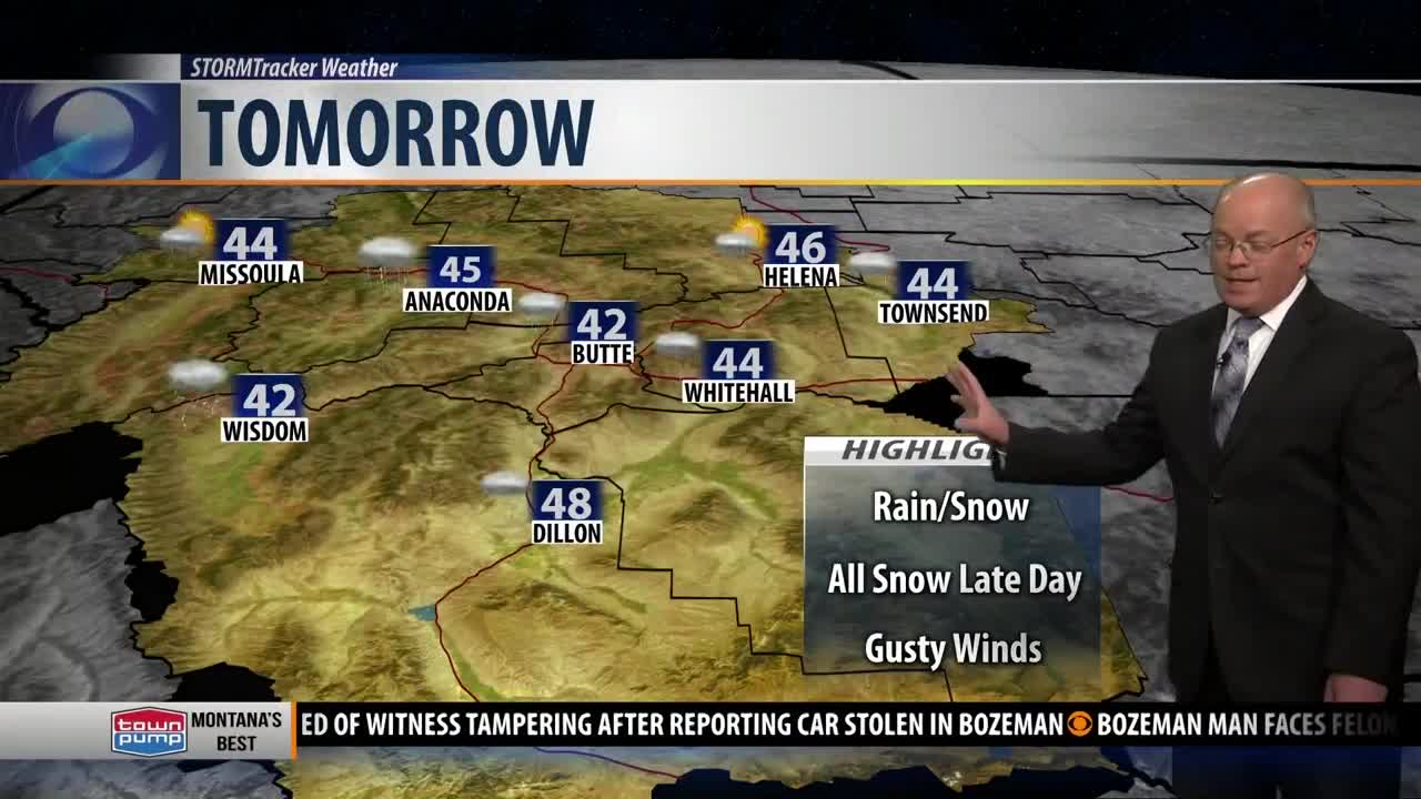
Because of the warm air down at the surface rain is likely tonight for most lower valleys but will mix with snow by late morning Tuesday and will change over to all snow by Tuesday evening into Wednesday morning.
Greatest impacts on commutes will be Tuesday evening and Wednesday morning. Wet roads could become icy and with falling snow look for lower visibility. Gusty winds are possible as a cold front hits SW Montana Tuesday afternoon along with a Low dropping through Tuesday evening.
Snow accumulations above 6,000’ could vary between 2” – 6” and that will include most mountain passes in SW Montana. Valleys could see 1” – 3” of snow but most of that will melt as it hits the ground Tuesday but could begin sticking Tuesday evening.
Pockets of freezing drizzle could develop Tuesday locally which will add another layer of ice to some roads.
WINTER WEATHER ADVISORY
A Winter Weather Advisory is up for the Butte/Blackfoot region and in the Helena area Tuesday morning through Tuesday evening.
Although Bozeman and most of SW Montana east of the divide is not under any winter weather highlights look for wintry travel impacts Tuesday evening into Wednesday morning.
WINTER STORM WARNING
The National Weather Service did issue Winter Storm Warnings in and around Glacier National Park Tuesday.
Snow accumulations 4” – 10” is likely along with strong wind gusts producing blowing snow.
