


BOZEMAN – Cool air rides in behind a Canadian storm system that is now digging into Wyoming Thursday afternoon.
SW Montana east of the divide did seethe higher precipitation totals with over a third of an inch between Belgrade and Livingston. Butte did see around a tenth of an inch as well as West Yellowstone.
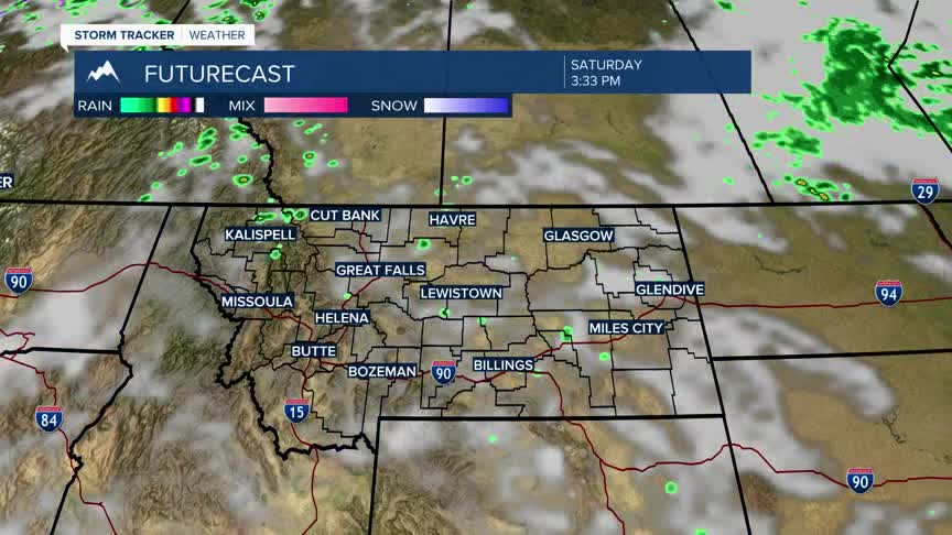
This system will continue to migrate out of the region overnight and a slow warming trend will begin on Friday. Over the weekend a High-pressure ridge will develop and create above normal temperatures Sunday into Monday.
The next weak system to move into SW Montana will be on Tuesday with just a few afternoon showers and thunderstorms but ahead of that system look for increasing surface wind Monday and possible fire weather highlights. This means a higher risk for new wildfires could develop on Monday.
