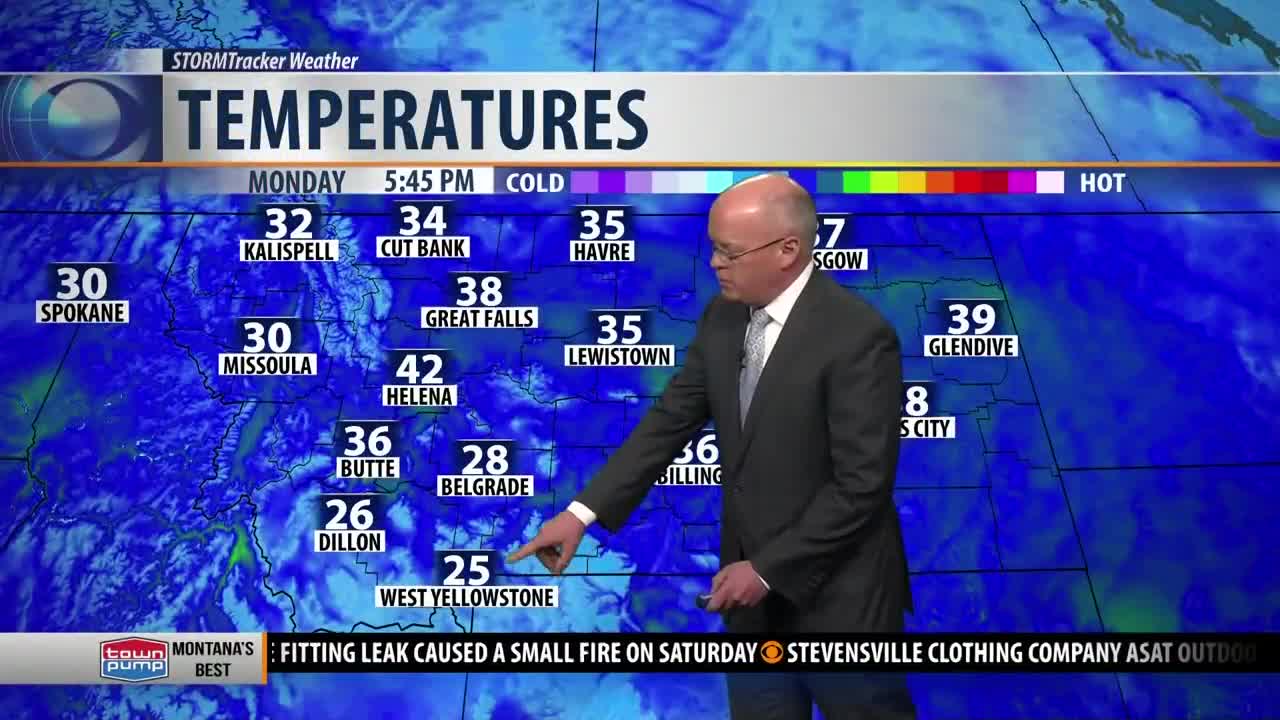
BOZEMAN – Flow aloft has shifted out of the WSW and that trend should continue for the rest of the week. This will help produce near to slightly above normal temperatures through the weekend.
The trade off is stronger surface winds. Most of SW Montana will see SW winds 10 to 20 mph but in high wind prone regions wind gusts could reach or exceed 30 mph. These localized strong wind gusts will produce areas of patchy blowing snow and impact travel.
Areas of greatest concern will be: Livingston to Big Time, this region is under a Wind Advisory through Tuesday morning with wind gusts 30 to 60 mph. I-15 Monida Pass has been dealing with areas of blowing snow Monday afternoon and that trend will continue into Tuesday and possibly Wednesday. Whitehall, Ennis-Norris Hill, Three Forks, Townsend are a few other regions that could be dealing with blowing snow and lower visibility.
SNOW STATISTICS
The Great Falls National Weather Service office released some interesting data on season to date snow totals from July 1st through November 30th. East of the divide in SW Montana is above normal for season to date snowfall.
Snow totals vary from 18” in Belgrade to 35” in West Yellowstone. Normally we see these totals in early January for the Bozeman but Dillon has 25.6” of snow so far and normally you see that high of total around March 15th.
COLLEGE FOOTBALL PLAYOFF FORECAST
The weather forecast for this Saturday should be on the mild side for this time year with both Missoula and Bozeman reaching the upper 30s to lower 40s Saturday.
A Pacific storm system will roll over the region but forecast models show this storm system to be weak and disorganized producing a better chance for snow over most mountain ranges and only a slight chance for rain or snow at lower valleys.
It’s still very early to narrow down how this storm will impact both games, for now, the general forecast is cloudy, mild, windy at times especially in Bozeman.
I will update this forecast frequently throughout the week.


