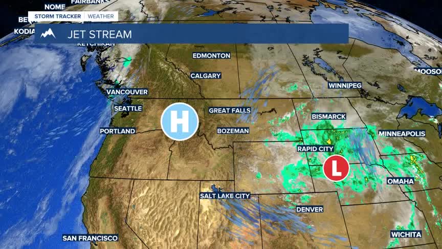


BOZEMAN – A building High-pressure ridge is changing the weather pattern back to a mostly dry and warm pattern through Saturday.
Temperatures will be chilly in the morning, but daytime highs will once again rise into the above normal range.
A weak cold front is expected Sunday afternoon. A few showers and isolated thunderstorms are possible with this frontal system. Locally windy conditions are also possible on Sunday with this front and thus this could create higher fire danger.
Next week we will move back into a dry and warm weather pattern.
