


Today's Forecast:
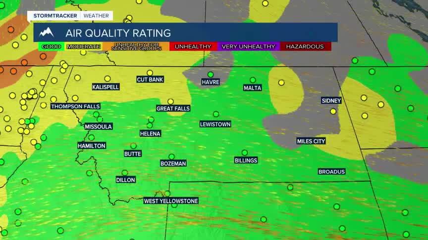
Southwest Montana will see a mix of sunshine and afternoon thunderstorms today as a weak disturbance moves across the region. Temperatures remain mild with breezy afternoon winds developing, especially near thunderstorms where gusty and erratic winds are possible. While widespread smoke issues have improved, isolated pockets of haze may still linger early this morning in some valleys.
BOZEMAN: High: 78; Low: 51. Mostly sunny skies this morning with a 30 percent chance of showers and thunderstorms developing after noon. North northwest winds increase to around 5 to 9 mph this afternoon. A few showers may linger this evening before skies gradually clear overnight.
BUTTE: High: 75; Low: 47. Mostly sunny early with scattered showers and thunderstorms developing this afternoon. Northwest winds increase between 8 and 13 mph with gusts up to 22 mph possible. A few evening showers remain possible before clearing develops overnight.
DILLON: High: 77; Low: 49. Mostly sunny skies with a 20 percent chance of afternoon thunderstorms, mainly between 3 PM and 5 PM. West northwest winds increase to around 5 to 10 mph this afternoon with gusts near 20 mph possible. Partly cloudy conditions return tonight after a slight chance of evening showers.
WEST YELLOWSTONE: High: 75; Low: 38. Patchy morning fog gives way to partly sunny skies with scattered showers and thunderstorms developing after 1 PM. West southwest winds increase between 6 and 11 mph this afternoon with gusts up to 21 mph possible. Showers taper off tonight with cooler overnight temperatures settling into the upper 30s.
WARMING AND DRIER LATE THIS WEEK
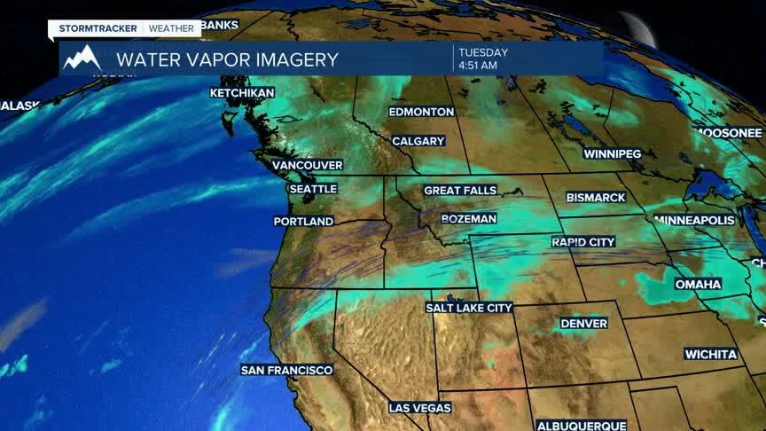
Warmer and drier weather returns through the second half of the week with temperatures climbing back into the 80s to near 90° across many lower elevations by Thursday and Friday. Thunderstorm chances become more isolated midweek as our moisture stream dries up late this week before another round of unsettled weather approaches for the weekend. Fire danger may begin increasing again later this week as humidity drops and temperatures warm. Model data also indicates we should see more smoke build into the area along with the warmer temperatures.
