


BOZEMAN - A strong cold front will pass through Montana Wednesday afternoon into Wednesday evening and bring powerful peak wind gusts to the region. A strong push of warm air is also preceding the cold front and into record high territory east of the divide. Belgrade hit the low 90s ahead of the front by 1 pm Wednesday.
There are widespread high wind highlights up across SW Montana through 9 pm Wednesday. Peak wind gusts 50 - 60 mph are possible. A Red Flag Warning is also up for most of SW Montana due to the wind, heat, and low humidity.
The Storm Prediction Center has a "Slight" risk for severe thunderstorms over SW Montana east of the divide through this evening. This means there could be a few severe thunderstorms producing localized damaging wind gusts.
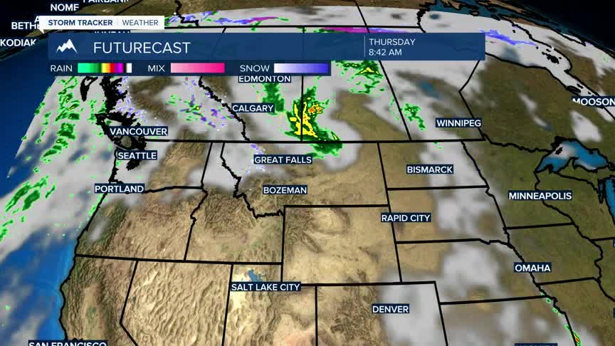
Temperatures will be cooler behind the front on Thursday and much cooler by the weekend as a new Pacific storm rolls into Montana.
