BOZEMAN – Snow and blowing snow to produce difficult to hazardous travel conditions tonight through Friday evening.
There are numerous winter weather advisories and winter storm warnings across western and SW Montana, central and eastern Idaho, and western Wyoming.
The National Weather Service issued a WINTER WEATHER ADVISORY for far western and NW Montana from 11 pm Wednesday to 11 am Friday. Mountain passes like Look Out Pass on I-90 could see 4”-7” of snow. Lower elevations could see 1”-3” of snow but there is also a chance for pockets of freezing rain.
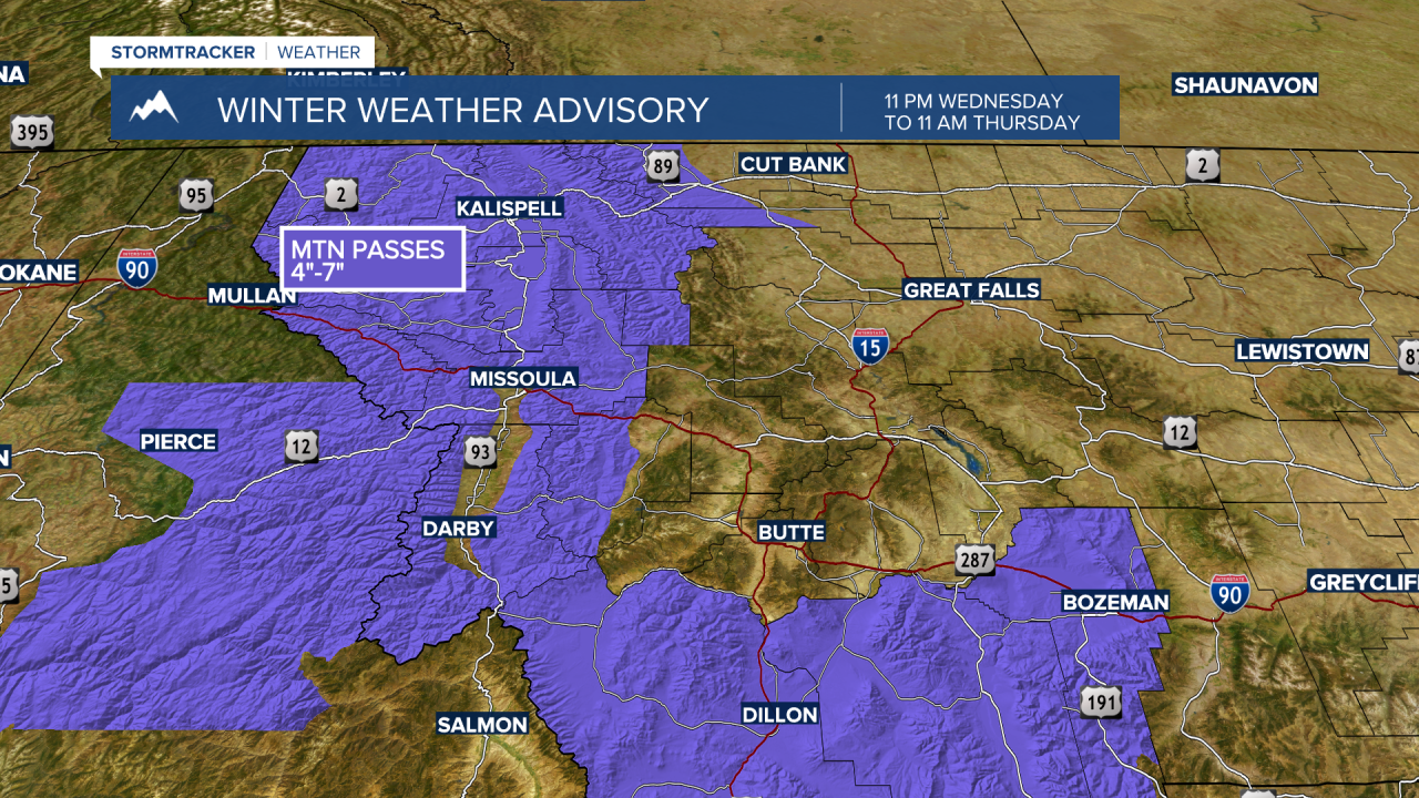
The National Weather Service issued a WINTER WEATHER ADVISORY for Beaverhead, Madison and Gallatin counties from 5 pm Wednesday to 6 pm Friday. Area of greatest concern will be along the MT/ID state line could see periods of moderate to heavy snow with gusty winds and blowing snow.

Big Hole Pass, Chief Joseph Pass, and Monida Pass could see 2”-6” or more of snow with gusts 30 to 50 mph.
Raynolds Pass, Targhee Pass and West Yellowstone could see 6”-12” of snow with gusts 30 to 50 mph.
The National Weather Service issued a WINTER STORM WARNING for the Absaroka-Beartooth Cooke City area, Yellowstone National Park and Island Park Idaho. Mountain snow accumulations could be as high as 1 to 2 feet with wind gusts to 50 mph.

Snow squalls could bring brief moderate snow bands across the Anaconda, Georgetown Lake and Butte areas Thursday afternoon producing snow accumulations around 1”-4”. Temperatures will be mild Thursday and as the snow begins to develop it will melt producing wet roadways that will turn over to ice by Friday morning.
Snow will develop after sunset for the Bozeman area Thursday. Here to look for melting to occur early Thursday evening and as temperatures fall into the 20s after midnight wet roads will become very icy by Friday morning.

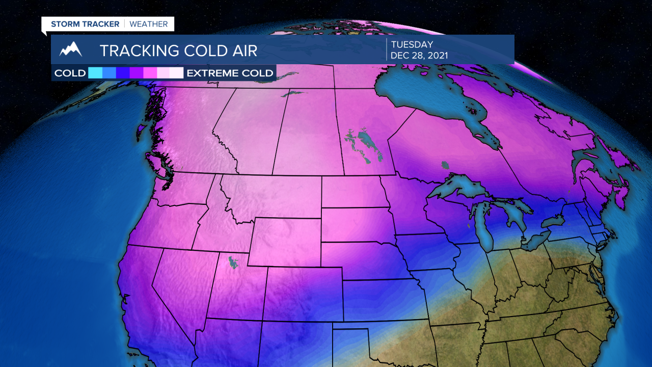
Next up after this storm system moves out by Saturday, cold Arctic air will begin to dig down into Montana producing much colder temperatures by Sunday and below zero lows by early next week with bitterly cold wind chill values by Wednesday morning next week.