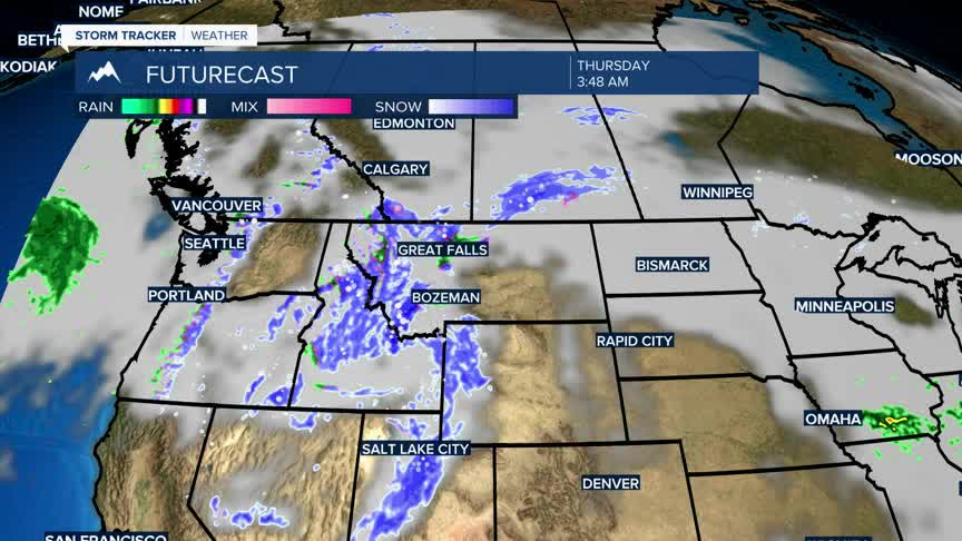


BOZEMAN – A Spring like snowstorm will roll over SW Montana Wednesday night through Friday morning. There is a very good chance for mountain snow with a high-water content and that is excellent news for our local snowpack.
This also means slow-go winter like travel conditions for mountains and passes over the next48 hours.
There could be some valley snow as well, but snowfall totals vary widely between the various forecast models.
The National Weather Service did issue a WINTER WEATHER ADVISORY from 6 pm Wednesday through 3 pm Thursday over most of SW Montana. Snow accumulations at pass level could range from 3”-8”. Valleys (not all) could see 2”-5” and in some cases more is possible although confidence remains low.
Once this system moves out late Friday, a rapid warm up will occur over the weekend.
