


BOZEMAN – Showers and thunderstorms will be increasing over the region Friday through Monday with a few potential strong thunderstorms.
The Storm Prediction Center has a “marginal” risk for a few strong thunderstorms and one or two severe thunderstorms for a small portion of SW Montana. Roughly from Whitehall to Bozeman to Livingston to Billings should be the area of higher probability for stronger thunderstorms Friday afternoon. This means some storms could produce property damage in the form of small to large hail, powerful outflow wind gusts and brief heavy rain.

Storms should diminish by Saturday morning, but a new disturbance will bring increasing showers and thunderstorms to the region Saturday afternoon with potential moderate to heavy rainfall Saturday night into Sunday morning across SW Montana.
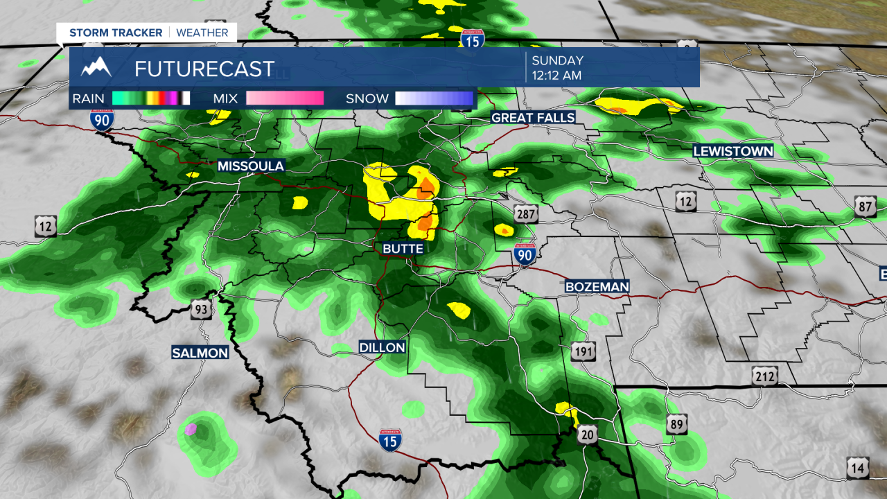
Latest forecast models are pushing rain totals between a quarter of an inch to over a half an inch Friday through Sunday.

This will cause area streams and larger river systems to run extraordinarily strong this weekend into early next week and please be careful around these waterways.
