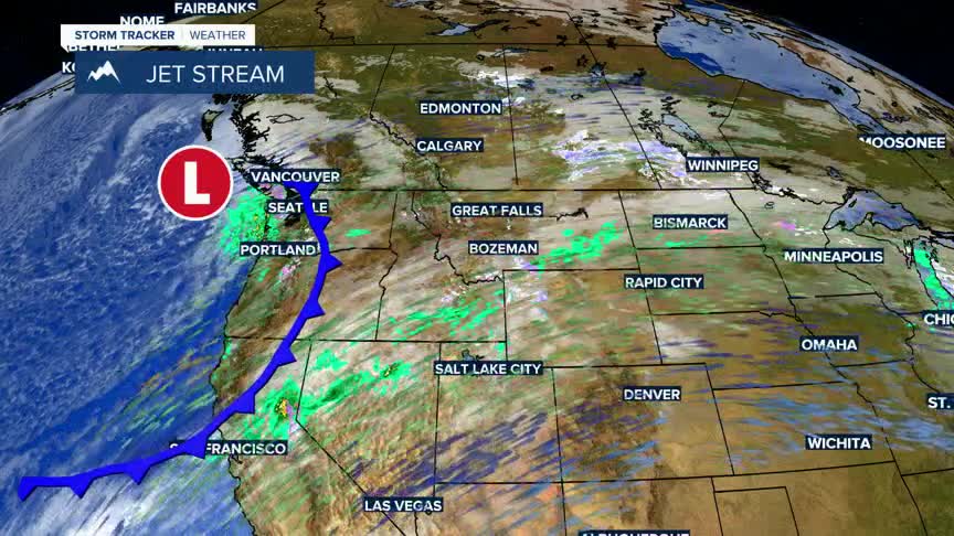


BOZEMAN – A strong SW flow aloft will continue through the end of the week with continued above normal temperatures. By the weekend, a slight cooldown is expected.
Scattered rain and snow will also continue for several days. A few showers are possible Tuesday morning with another disturbance arriving Wednesday evening into Thursday morning. Mixed precipitation is possible, and this time of the year freezing rain is a concern for travel conditions.
More wind will develop Tuesday evening through Wednesday evening. Right now,the Madison River Valley has the higher probability of strong to damaging wind gusts. A High Wind Watch has been issued for possible peak wind gusts up to or over 60 mph.
