


Today's Forecast
A quiet weather pattern continues across southwest Montana Friday. Some localized fog is possible early, mainly around Bozeman, Butte and West Yellowstone, but most locations will see partly to mostly sunny skies through the day. Temperatures will be cool, with highs in the low 50s around Bozeman, Butte and Dillon and upper 40s around West Yellowstone.
BOZEMAN
High: 51; Low: 34.
Patchy fog is possible before 9 a.m., followed by mostly sunny skies and a high near 48. Winds remain light. Clouds increase tonight as temperatures fall to around freezing.
BUTTE
High: 51; Low: 28.
Patchy fog is possible before 9 a.m., otherwise expect mostly sunny skies with a high near 49. Winds will remain fairly light before becoming west-southwest at 5 to 7 mph this afternoon. Mostly cloudy skies return tonight with a low near 31.
DILLON
High: 52; Low: 32.
Mostly sunny skies are expected throughout the day with a high near 49. South-southwest winds will run around 6 to 9 mph. Clouds increase tonight with temperatures dropping into the upper 20s.
WEST YELLOWSTONE
High: 41; Low: 26.
Mostly sunny skies are expected with a high near 39. Winds remain light before becoming southwest at 5 to 7 mph during the afternoon. Clouds increase tonight with temperatures falling to around 21.
Looking Ahead
The weekend will be dry and noticeably warmer across southwest Montana. Saturday brings highs into the mid 50s in the region. Skies will range from partly sunny to mostly sunny.
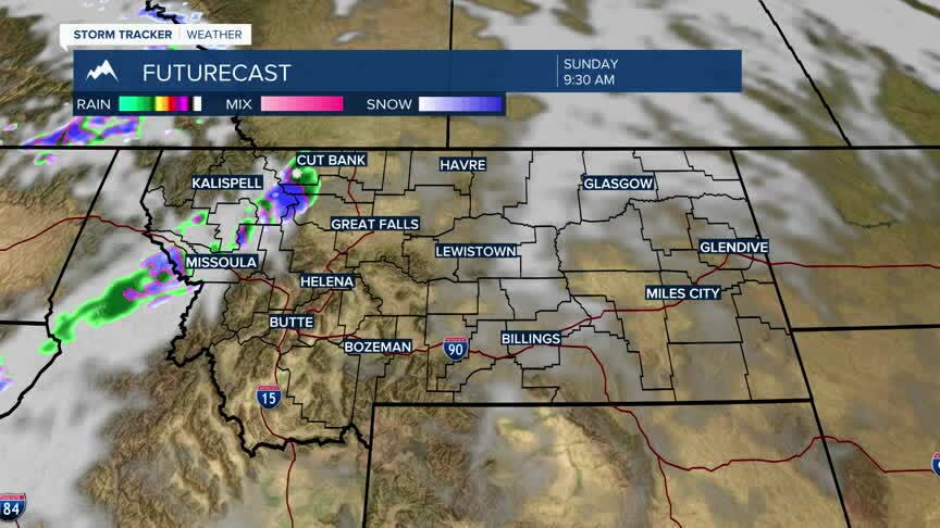
Sunday looks even warmer with highs approaching the 60 degree mark. Winds will increase in some locations Sunday, particularly around Butte, Dillon and West Yellowstone, where afternoon gusts could reach roughly 20 to 30 mph.
The mild and generally dry pattern continues into the beginning of next week. Monday remains in the lower 50s. At this point, there is no significant rain or snow in the forecast through Monday.
