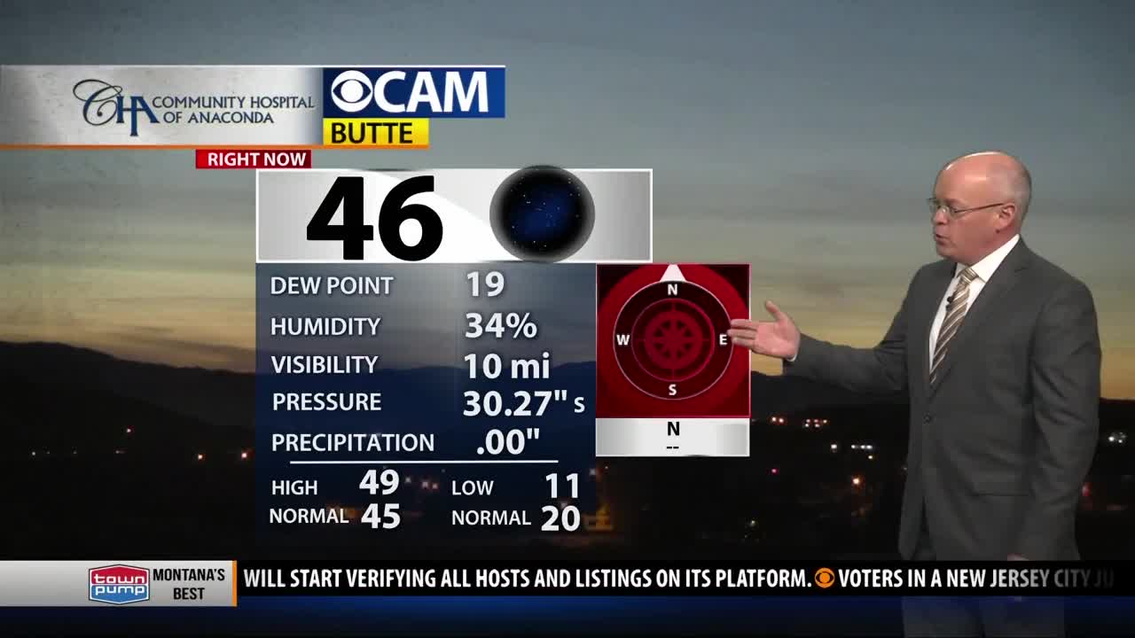
BOZEMAN – Short term weather pattern is looking wonderful for Friday and Saturday. High pressure will continue to produce mostly clear skies through Saturday morning. Temperatures are expected to warm up into the 50s for a few days.
Dense freezing valley fog was reported across SW Montana Thursday morning with hazardous travel between Bozeman-Three Forks-Townsend. Fog could redevelop Thursday night into Friday morning but should be more patchy than widespread.
THE NEXT WEATHER MAKERS
A series of pacific storms will lift over a high-pressure ridge and drop down into Montana Saturday evening into Sunday. This should be a similar pattern that occurred Tuesday/Wednesday. Saturday highs will be in the mid to upper 50s and a strong Canadian cold front will drop through the state by Sunday morning. Mixed precipitation types are possible and there is concern for pockets of freezing rain Sunday morning followed by light snow accumulations by Sunday afternoon.
Ice accumulations of 0.05” of an inch could be just enough to produce extremely icy roads, sidewalks, decks, and parking lots Saturday night into Sunday morning.
Snow accumulations of 1” – 3” for valleys a possibly over 3” for mountain passes is possible. The combination of rain, freezing rain, and a change over to snow will produce wintry travel concerns Sunday.


