

BOZEMAN – A NW flow aloft will continue to pave the way for a few Canadian cold fronts to pass through Montana. One front is moving out of the state and did produce areas of rain and snow Sunday evening through Monday afternoon mostly in central and eastern counties.
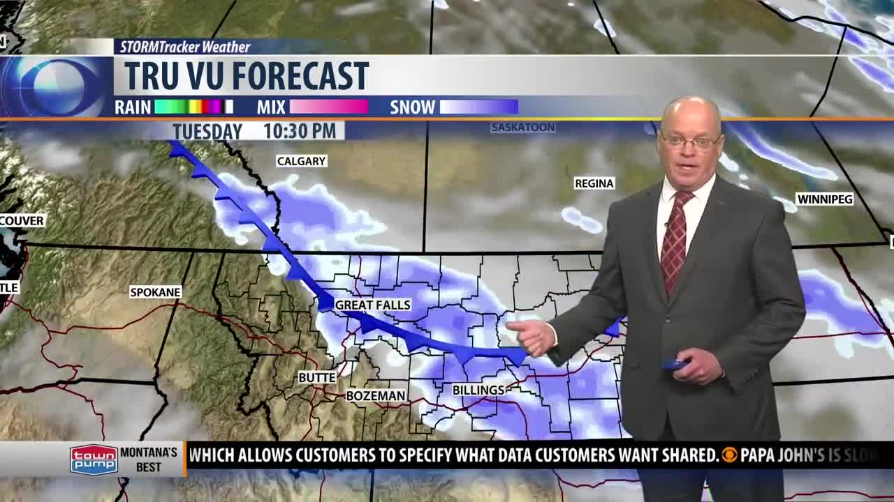
The next cold front to impact Montana will be similar Wednesday. Scattered rain or snow is likely from Great Falls to Billings but very little moisture over SW Montana. Ahead of this front Tuesday temperatures will warm nicely but behind the front Wednesday a state-wide cool down is likely both west and east of the divide.
Temperatures will quickly warm again beginning Thursday through Saturday and most areas locally could see upper 40s to mid 50s. Sunday another cold front will drop through the state and could bring increasing rain or snow Saturday evening into Sunday morning between Butte and Bozeman.
