

BOZEMAN – A quick shot of snow impacted travel conditions over SW Montana Monday morning. That system is digging rapidly to the South and exiting our region thus a colder but drier weather pattern for Monday night and Tuesday morning.
The only travel hazard tonight into Tuesday morning is wet roads refreezing after sunset Monday. So, plan on a slow go morning commute Tuesday.
The next weather maker is another Pacific storm system following the upper-level jet stream. This will once again bring snow to most mountains and passes Tuesday evening into Wednesday morning. Surface winds will become stronger by Tuesday morning in high wind prone areas like Livingston.
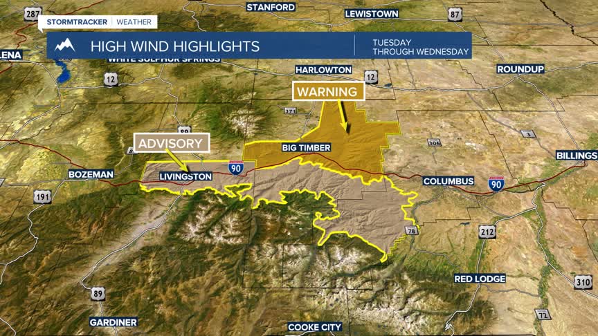
The National Weather Service has issued a WIND ADVISORY and a HIGH WIND WARNING for the Livingston and Big Timber areas Tuesday morning through Wednesday afternoon.
Peak wind gusts could reach or exceed 60 mph at times. If wind gusts are strong enough MDT will likely close I-90 and detour traffic through Livingston to by-pass a dangerous crosswind area on I-90.
Lower valley temperatures should warm above freezing beginning Wednesday through Saturday. This will help thaw most lower elevations roads. There is a chance for more mountain snow Thursday afternoon into Friday morning and another system by Sunday.
