


BOZEMAN – Wonderful moisture for most of SW Montana over the last 5 days. Although between Dillon and Butte is still below normal on month to date precipitation.
Some impressive precipitation totals are centered around Bozeman. The National Weather Service weather spotter is reporting 6.30” for the entire month of May east of Gallatin Gateway. Bozeman MSU has 4.66” in their rain gauge and that doesn’t include today’s moisture. Butte set a 24 hour rain record on Sunday with 0.81” for May 29th, and Dillon has a 4 day total (Fri-Mon) of 1.25” and again that is still below normal.

The main upper-level Low that brought some of this much needed moisture is pushing into South Dakota but wrap around bands of moisture will continue to impact Southern Montana through Tuesday morning.
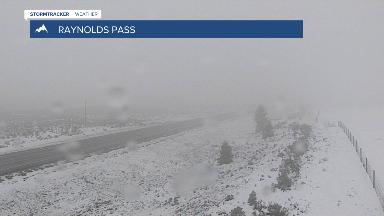
Heavy wet snow will also continue around Cooke City and Red Lodge and down into Yellowstone National Park through Tuesday afternoon.
Temperatures will begin to slowly moderate this week but there will be scattered showers and a few thunderstorms daily through at least early next week.
