

BOZEMAN – A strong westerly flow will keep temperatures near to slightly above normal this weekend into early next week. Mid 30s to 40s locally in SW Montana and there could be several 50s out there in central and eastern Montana.
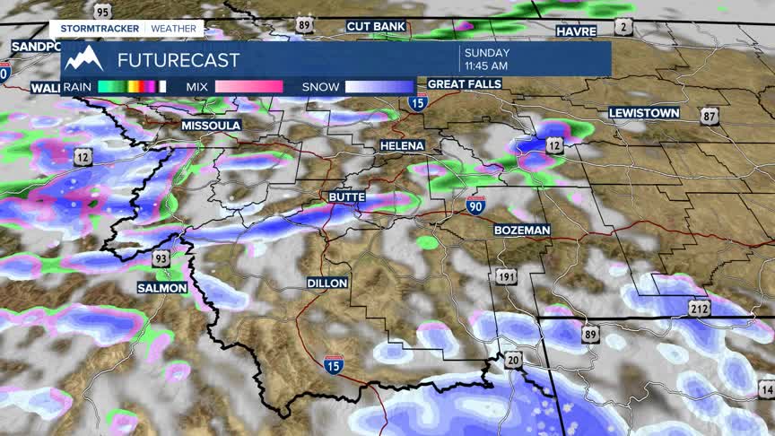
The westerly flow will also continue to feed bands of moisture which should produce several chances for accumulating snow for most mountain ranges and the closer to the MT/ID state line the higher the chances for snow.
Big Sky, West Yellowstone, Yellowstone National Park, and in the Cooke City area could see moderate to heavy snow at times over the next 3 to 7 days.
This pattern will also produce stronger surface winds east of the divide. Along the Rocky Mountain Front and adjacent plains down into the upper Yellowstone region wind gusts could reach or exceed 60 to 70 mph this weekend.
There are High Wind Watches and High Wind Warnings up for most of central Montana and in the Livingston area a Wind Advisory has been issued by the National Weather Service Saturday through Sunday.
As of 1 pm Friday afternoon there are no wind highlights up for SW Montana but strong winds are likely in high wind prone areas this weekend with gusts 30 to 50 mph at times for Whitehall, Three Forks, Ennis, Norris Hill, possibly in the Warm Springs to Deer Lodge area, and Monida Pass.
