

Today's Forecast:
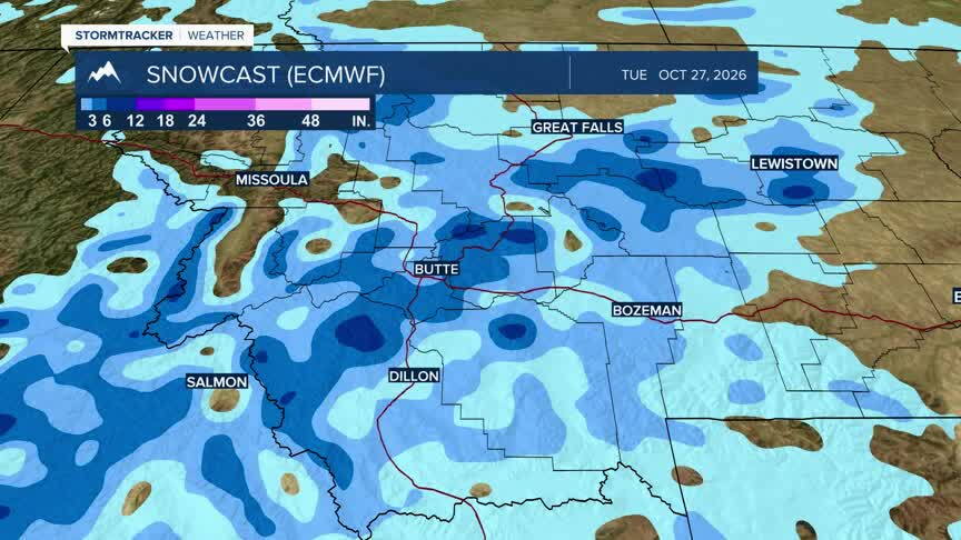
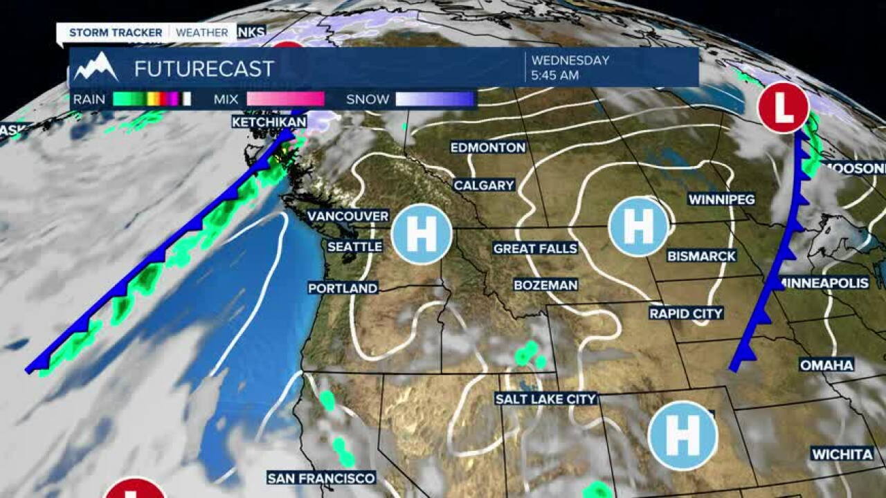
Southwest Montana will enjoy another quiet autumn day with plenty of sunshine and seasonably mild temperatures. Dry conditions continue through tonight, while confidence remains high that a stronger weather system will arrive late Thursday into Friday with a noticeable drop in temperatures and increasing chances for rain and mountain snow.
BOZEMAN: High: 66; Low: 44. Mostly sunny skies through the day with light winds and no precipitation expected. A pleasant afternoon gives way to a clear and cool evening with temperatures falling into the 40s overnight.
BUTTE: High: Near 64; Low: Near 40. Mostly sunny and dry with light winds. Comfortable afternoon temperatures will be followed by a cool and quiet night under mainly clear skies.
DILLON: High: Near 67; Low: Near 41. Sunshine dominates the forecast with light winds and dry conditions. Another mild fall afternoon is expected before overnight temperatures cool steadily after sunset.
WEST YELLOWSTONE: High: Near 57; Low: Near 30. Mostly sunny skies with cool morning temperatures giving way to a pleasant afternoon. A cold night is expected with temperatures dropping below freezing in many locations.
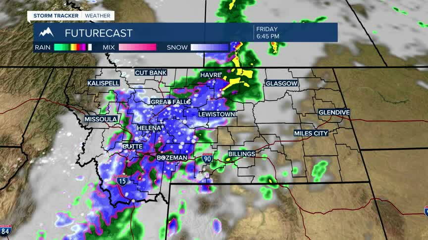
SIGNIFICANT COOL-DOWN WITH SNOW BY FRIDAY EVENING
Thursday remains fairly mild with one more day of mostly dry weather across southwest Montana. A stronger system is expected to move through Friday, bringing widespread rain to the valleys, accumulating mountain snow, and a sharp drop in temperatures. Current guidance continues to support cooler conditions lasting into the weekend, with highs falling back into the 40s and lower 50s for many lower-elevation communities. The latest trends still favor the bulk of the precipitation arriving Friday into early Saturday.