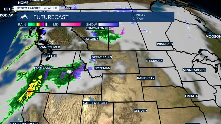


BOZEMAN – Finally, moisture is headed our way. A Pacific cold front arrives Sunday afternoon and a decent fetch of moisture will follow in behind the front Sunday afternoon into Monday.
Temperatures will be trending cooler by early next week but remain slightly above average.
The good news is that snow is likely for most mountain ranges in SW Montana Sunday morning through Monday evening. Higher elevations could see moderate accumulations with a high-water content.
Of course, when snow is in the forecast you need to plan on possible travel impacts especially over mountain passes Sunday evening through Tuesday morning
