


Today's Forecast:
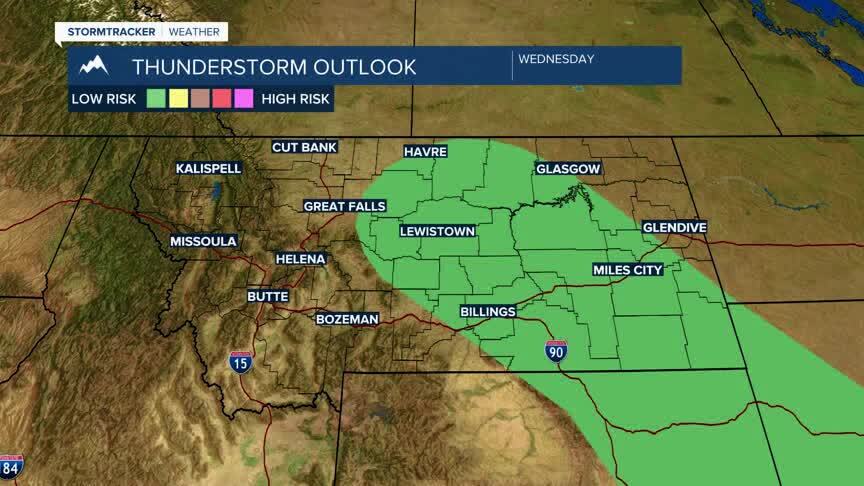
Temperatures will once again be mild for the afternoon with highs in the low and middle 80s. Bright sunshine will boost the temperatures quickly through the afternoon and will produce a few isolated thunderstorms by mid-afternoon and will linger across the area through sunset. The strongest storms will be across central and eastern Montana.We do have the potential for some gusty winds associated with a few of those storms, but the overall severe weather threat is minimal. Winds will remain light out of the northwest between 5-10 mph
BOZEMAN: High: 84; Low: 55. Temperatures will warm in a hurry with bright sunshine to start the day. A few showers will move into the region for the early evening and will stick around through sunset before fading. Winds will stay out of the northwest between 5-10 mph.
BUTTE: High: 82; Low: 50. Our temperatures will build quickly today with lots of sunshine. Scattered showers are expected to develop this afternoon and push through the region through the early evening. Winds will stay out of the northwest between 5-10 mph.
DILLON: High: 84; Low: 55. After a quick warm-up we will likely pick up a few early afternoon showers moving through the area. Main concerns will likely be pockets of brief heavy rain, a little bit of lightning, and some gusty winds as these storms develop. This should clear quickly by the early evening.
WEST YELLOWSTONE: High: 85; Low: 54. Skies will stay clear through the early afternoon as highs top out in the middle 80s. Showers will slide through the area during the early evening and will stick around through midnight before fading away. Severe threat is low, but we do see the potential for gusty winds from the base of a few of those storms.
FIRE DANGER CLIMBING:

Heat will be our main story as we move into the weekend for most of us, but the devil is in the details here. With all the rain we picked up last week we may have been lulled into a false sense of security regarding fire danger.
We will see temperatures climb to the middle 90s for most of the region which will drive our humidity down. That combination could turn critical if we don’t see relief from the heat next week. The latest model guidance doesn’t show any substantial changes, though I would expect a couple of pop-up showers by the middle of next week may keep temperatures down slightly. The overall trend through the 20th of July remains warm and dry.
