


BOZEMAN – One more beautiful day for SW Montana and then a pattern change arrives beginning Saturday.
Temperatures will remain above normal through Friday afternoon,but a general cooling trend will develop over the weekend and continue well into next week.
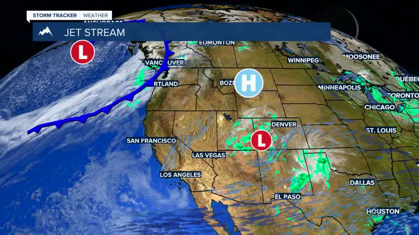
High pressure will begin to break down on Saturday as a powerful Pacific storm hits the Pacific NW and begins to push into western Montana by Saturday afternoon.
Ahead of a cold front look for increasing surface wind gusts Saturday. The blustery conditions will help temperatures remain on the mild side, but there is potential for damaging peak wind gusts Saturday afternoon.
The National Weather Service issued a HIGH WIND WATCH from Saturday morning through Saturday evening. Areas of greatest concern will be east of the divide. Sustained winds of 30 to 40 mph with potential peak gusts up to 60 mph are possible Saturday. The High Wind Watch will likely get upgraded to a High Wind Warning if conditions continue to look favorable for strong wind with updated model runs on Friday.
Scattered rain or snow along with gusty winds will develop over SW Montana Saturday evening and continue through Monday morning. Mountain passes could see accumulating snow and possible icy road surfaces,especially Sunday morning and again by Monday morning.
