


BOZEMAN – A powerful winter storm continues to track slowly to the east and is basically centered over the central and northern Rockies Monday afternoon producing widespread snow from Arizona up into Montana.
Cold Arctic air is pouring down into the upper-level trough Monday afternoon as well and temperatures will continue to be cold to very cold for the next 10 to 15 days.
The combination of snow, blowing snow, much colder temperatures, and very cold wind chill values will produce hazardous travel conditions across southern Montana through Tuesday morning.
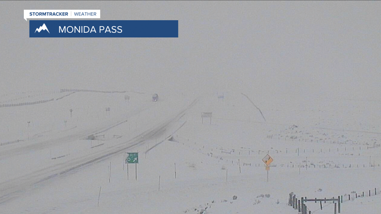
The National Weather Service continues a WINTER WEATHER ADVISORY for SW Montana through 11 pm Monday. Light to moderate snow will continue along with areas of blowing and drifting snow and poor visibility travel hazards.

This storm will spin up into the Dakotas beginning Tuesday and plenty of wrap around bands of snow will impact eastern Montana, Wyoming, North and South Dakota and across the central U.S. through Thursday.
There are widespread Winter Storm Warnings and Blizzard Warnings out beginning Monday night through Thursday morning and travel is not recommended.


Snow should diminish over SW Montana by Tuesday with just a few hit and miss mainly mountain snow showers through Wednesday. As skies clear temperatures will become even colder and likely to fall below zero at night later in the week.
