


BOZEMAN – Update to the current severe winter storm impacting SW Montana. The good news is the storm is beginning to weaken over the region west of the divide but east of the divide more of the same is possible through early Wednesday morning.
The National Weather Service continues a WINTER STORM WARNING for SW Montana east of the divide through 6 am Wednesday morning.
An additional 2”-8” of snow is possible mostly for mountains and passes along with localized gusts over 30 mph producing areas of blowing snow and low visibility. Travel is still not recommended for SW Montana through Wednesday late morning.

The storm is expected to stall over far eastern Montana and over North Dakota. Very heavy snow fall and wind gusts over 50 mph are likely through Thursday evening. For this reason, the Montana Highway Patrol is CLOSING I-94 from Billings eastward to the North Dakota Stateline. Additional road closures are likely in North Dakota as well.
The National Weather Service continues a BLIZZARD WARNING for far eastern Montana now through Noon on Thursday.

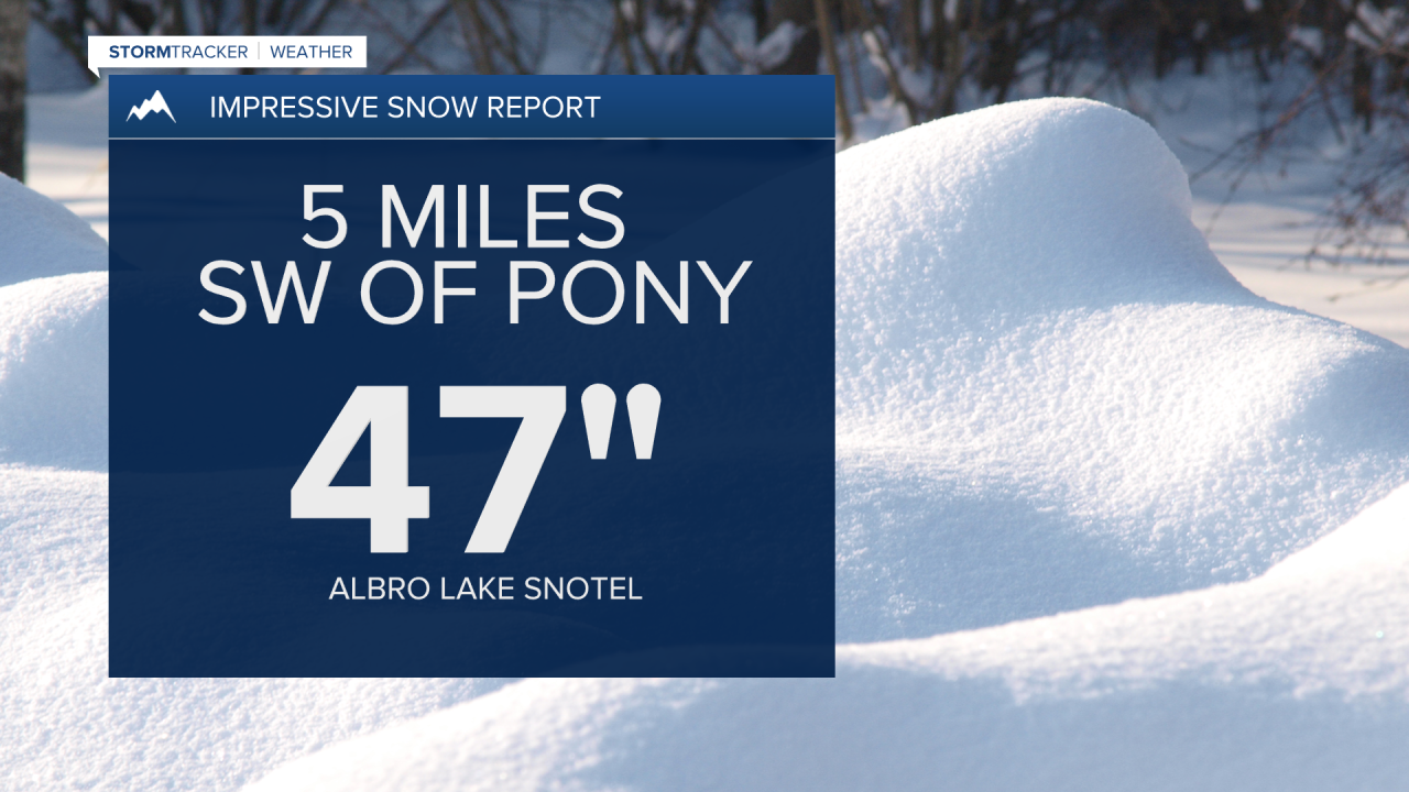
We continue to receive local storm reports of heavy snowfall in SW Montana. One of the more impressive reports came from the National Weather Service Great Falls office with 47” of snow in the last 24 hours at the Albro Lake Snotel site 5 miles SW of Pony.
As the heavy snow bands diminish over SW Montana we will now need to deal with very cold morning low temperatures. There is a good chance for several new record lows to be set locally in SW Montana Wednesday morning and possibly again Thursday morning.

