


BOZEMAN – A progressive westerly flow aloft will pave the way for several Pacific storms to pass through the Pacific NW and the northern Rockies through early next week.
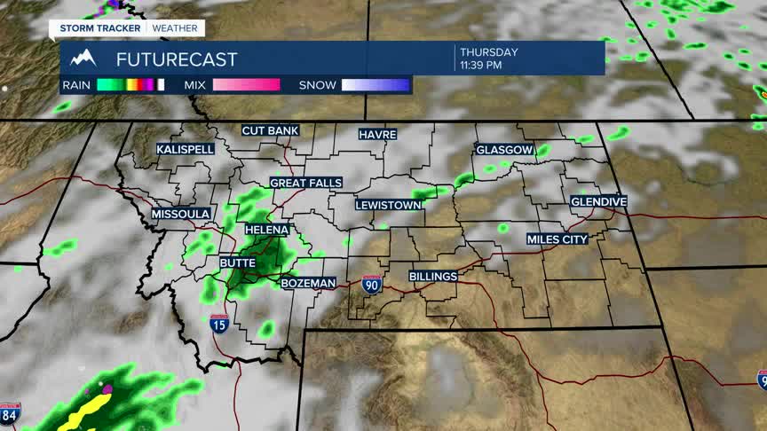
A weak cold front is passing through Montana Tuesday with a new Pacific storm just hitting the west coast. A few showers are possible Wednesday into Thursday.
A longer fetch of moisture is expected to push into SW Montana by Friday morning producing valley rain and some higher mountain snow. This will usher in a cooler temperature pattern that will persist through the weekend.
Sunday will be one of the colder temperature days out of the next 7 days with forecast highs in the 40s to very low 50s and morning lows falling down to or below freezing with higher elevations possible crashing into the low 20s.
