BOZEMAN – A cold core Low-pressure storm system is slowly drifting to the east this afternoon and evening with rain and snow ending overnight.
Impressive snow accumulations along the Continental Divide over the last 24 hours with a foot plus above 6,000’ and 3”-6” above 5,000’ in SW Montana.
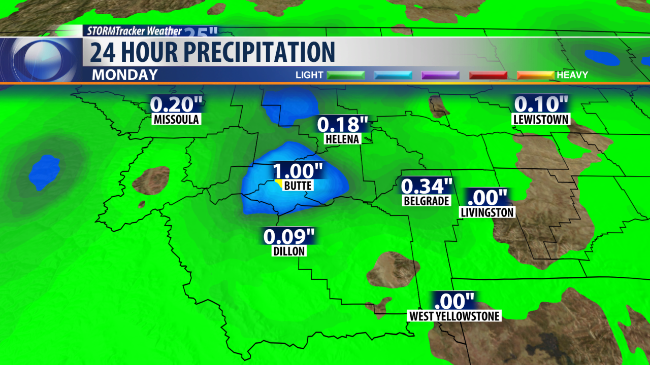
The snow did pack a great moisture punch with over an inch of moisture between Butte, Anaconda, and Deer Lodge.

As this current storm system moves out tonight watch for clearing skies and much colder temperatures by Tuesday morning. Near-record lows are possible Tuesday morning for SW Montana with forecast temperatures between 25° to 35°.

Frost is possible Tuesday morning so plan on protecting flower beds, gardens, and tender vegetation tonight.
A westerly flow will begin to develop Tuesday afternoon with increasing clouds and a few passing showers Tuesday into Thursday. Temperatures will gradually moderate as early as Tuesday afternoon.


