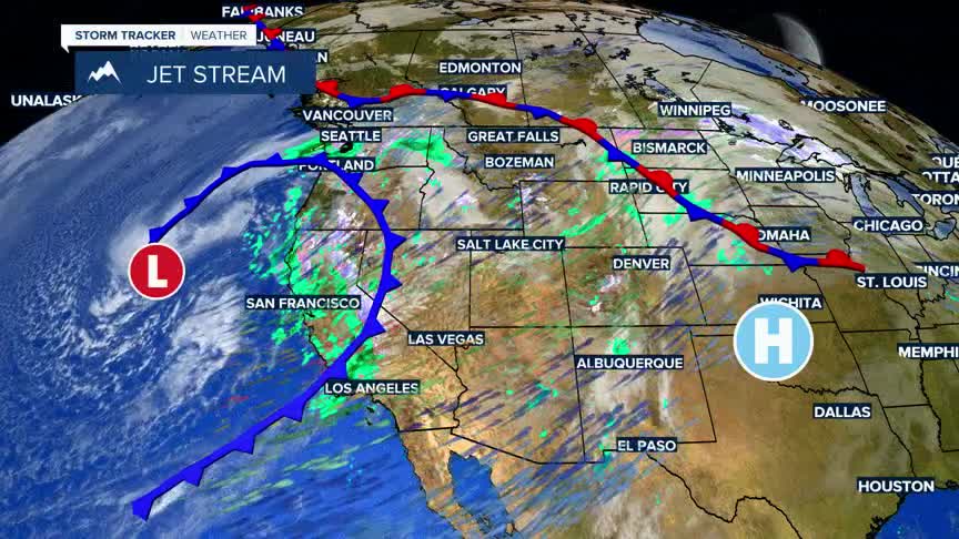


BOZEMAN – A crazy weather pattern continues over the entire western U.S. on this Christmas day. Locally, unseasonably warm temperatures with record highs for most reporting stations in SW Montana on this Christmas Day with highs in the upper 40s to mid 50s.
Rain overnight and very warm temperatures have melted most of the lower elevations' snowpack thus a brown Christmas for SW Montana.
Moderate to heavy rain or a rain/snow mix to report in the West Yellowstone and Island Park, ID areas Wednesday night into Thursday morning. Numerous reports of a half an inch to 1.50” of precipitation around West Yellowstone and Island Park,ID and Yellowstone National Park.
A blast of colder air, more wind, and accumulating snow is in the forecast Friday into Saturday. This will produce slow-go travel concerns with flash freezing of wet or slush covered roads Friday night into Saturday as a stronger push of cold air arrives out of the NW.
Temperatures will actually fall below normal, and typical cold spots in SW Montana morning lows could fall below zero by Sunday morning.
Snow, wind, and cold for Saturday but clearing and much colder by Sunday morning.
The National Weather Service has issued a WINTER WEATHER ADVISORY from 2 am to 11 pm Friday for the Madison, Gallatin, and southern Centennial ranges. Periods of snow and wind will produce difficult travel conditions for US 191 and US 20. Up to 6" of snow is possible at pass level along with SW wind gusts up to 50 mph. Areas of blowing snow, reduced visibility are possible.
The National Weather Service has issued a WINTER WEATHER ADVISORY west of the divide for Saturday. In the Butte/Blackfoot region the advisory is from 5 am to 8 pm Saturday. Periods of snow with accumulations of 1"-3" is possible and slightly higher amounts at pass level. Wind gusts to 45 mph with a cold front passage will produce areas of blowing snow and lower visibility at times Saturday morning into Saturday afternoon.
The National Weather Service issued a WIND ADVISORY for the Butte/Blackfoot region from 6 am Friday to 5 am Saturday. Sustained SW wind 20 to 30 mph with peak gusts up to 55 mph are possible. Powerful crosswind will develop on I-90 from Butte to Garrison Friday. High profile vehicles proceed with caution.
The National Weather Service has issued a HIGH WIND WARNING for the Madison River Valley including Ennis and Norris Hill for Friday from 10 am to 6 pm. Sustained SW wind 30 to 40 mph is possible along with peak wind gusts to 60 mph.
The National Weather Service has issued a WINTER STORM WARNING for Eastern Idaho including Island Park, ID and US 20 from 2 am Friday to 5 am Saturday. Periods of snow with total accumulations between 5" to 10" is possible. The combination of periods of snow along with wind gusts to 30 to 40 mph will produce considerable areas of blowing snow. Flash freezing of wet roads are possible.
