


BOZEMAN – A return of extreme heat is beginning to build over Montana Monday with the hottest forecast highs locally to hit Tuesday and Wednesday with mid to upper 90s.
A High-pressure ridge is building back into the region and producing the hot and dry weather pattern for several days. However, it is also paving the way for monsoonal moisture to lift to higher latitudes and scattered afternoon thunderstorms will begin on Wednesday. In fact, Wednesday afternoon SW Montana could see several thunderstorms but there is a good chance for thunderstorms to continue into the overnight hours Wednesday night into Thursday morning.
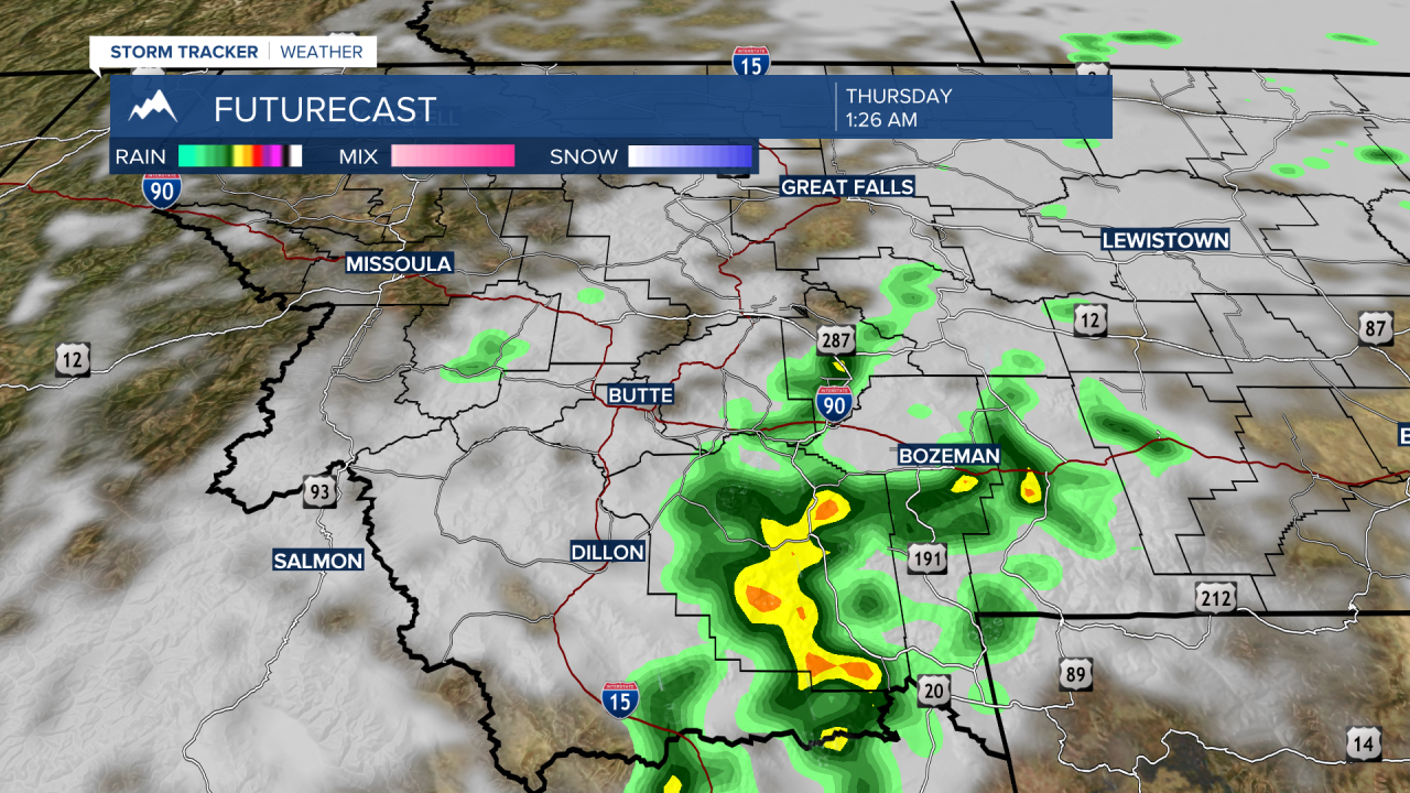
As clouds push into the region and scattered thunderstorms develop daily, this will bring a slight cooling trend by Thursday and continue into the upcoming weekend. The tradeoff is afternoon thunderstorms which will also produce concern for new wildfires.
