


BOZEMAN – A cooler and unsettled weather pattern is beginning to develop over the region, and this is helping to improve air quality.
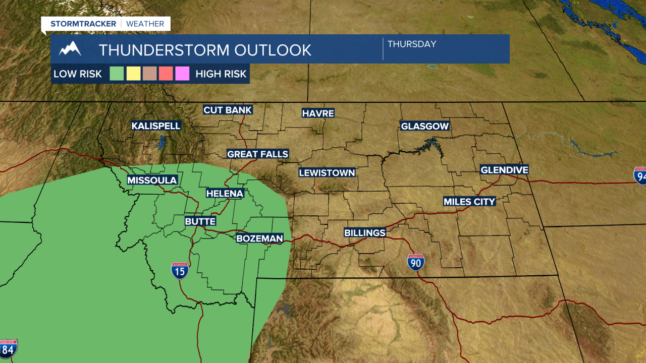
The Storm Prediction Center continues a “marginal” risk for stronger thunderstorms and possibly a few isolated damaging thunderstorms Thursday afternoon.
The lower levels are extremely dry, as thunderstorms develop rain falling through the drier low levels will create evaporation and in turn cooling. This cooler air rushes to the ground producing strong outflow wind gusts. This combined with numerous lightning strikes creates higher fire danger.
For this reason, a RED FLAG WARNING is up for SW Montana through midnight Thursday. Please use extreme caution with all outdoor activities Thursday afternoon and evening to avoid new fire starts.

Eventually, these storms should produce wetting storms Thursday evening into Friday. Some areas could see over a quarter of an inch of rain or more, but it is not likely to be widespread.
Temperatures will be cooling with this upper-level trough beginning Friday and another cold front will arrive on Sunday knocking down temperatures into early next week.
