Today's Forecast:
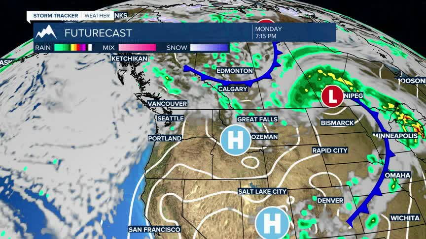
Southwest Montana will have a cool, crisp and breezy day with improving conditions through the afternoon. A few early morning showers are possible in some areas, but most locations will see increasing sunshine later today as drier air moves in.
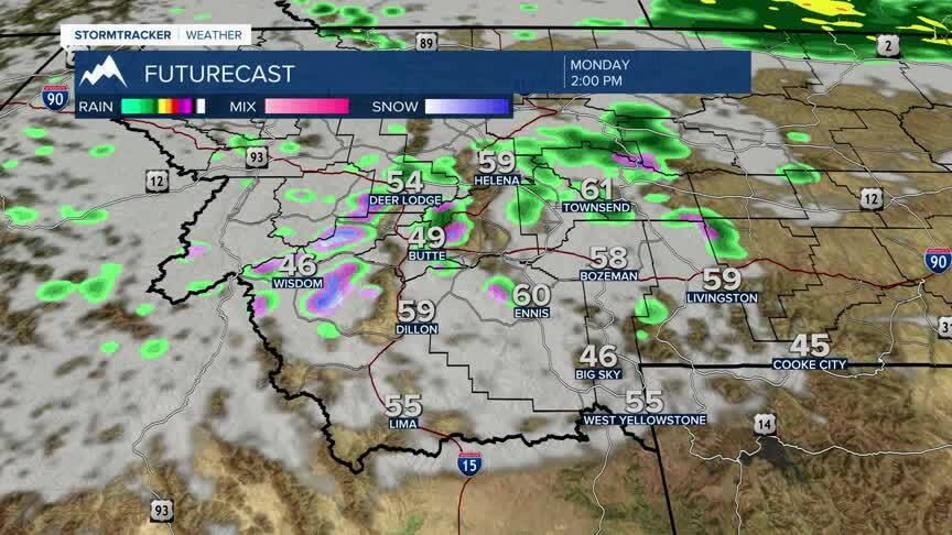
BOZEMAN: High: 58; Low: 36. Partly sunny skies today with a cool autumn feel. Southwest winds increase through the afternoon, becoming gusty at 15 to 25 mph with gusts near 35 mph possible. Skies clear tonight with chilly overnight temperatures.
BUTTE: High: 55; Low: 31. Clouds gradually decrease today with sunshine returning this afternoon. Breezy west-northwest winds increase to 15 to 25 mph with occasional gusts approaching 30 mph. Patchy frost is possible overnight as temperatures fall near freezing.
DILLON: High: 61; Low: 32. Sunny and breezy today with cooler temperatures settling into the valley. West to northwest winds increase to 10 to 20 mph with higher gusts possible during the afternoon. Mostly clear and cold tonight.
WEST YELLOWSTONE: High: 57; Low: 25. Mostly sunny but chilly today with breezy southwest winds gusting up to 30 mph at times. Cold mountain air remains in place, especially this morning. Mostly clear tonight with temperatures dropping well below freezing.
Trending Warmer By Wednesday & Thursday
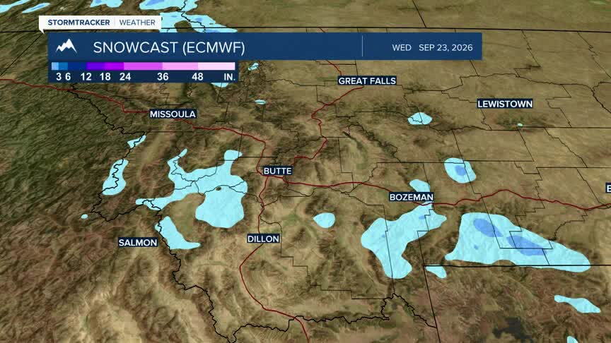
A colder early fall air mass remains in place today, and a few of the highest mountain peaks along the Continental Divide could still pick up light snow this morning above 6,500 feet. Conditions turn drier Tuesday and Wednesday with a gradual warming trend returning across southwest Montana.
Another round of unsettled weather arrives late Thursday into Friday with increasing chances for showers and a few thunderstorms. Rainfall amounts currently look fairly light, but cooler and wetter conditions are expected region-wide heading into the end of the workweek.