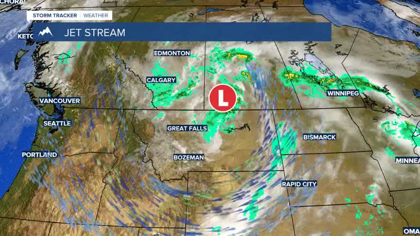


BOZEMAN – A shallow upper-level trough is creating chilly temperatures across Montana Friday into Saturday. An area of Low-pressure is spinning along the hi-line and drifting slowly eastward.
By the end of the weekend this trough will exit the region and a new High pressure ridge will begin to develop by Monday.
This new ridge pattern will aid in temperatures rising into near normal levels and some lower valleys could reach the lower 90s Tuesday or Wednesday.
The overall pattern looks mostly dry for SW Montana through the weekend into most of next week.
