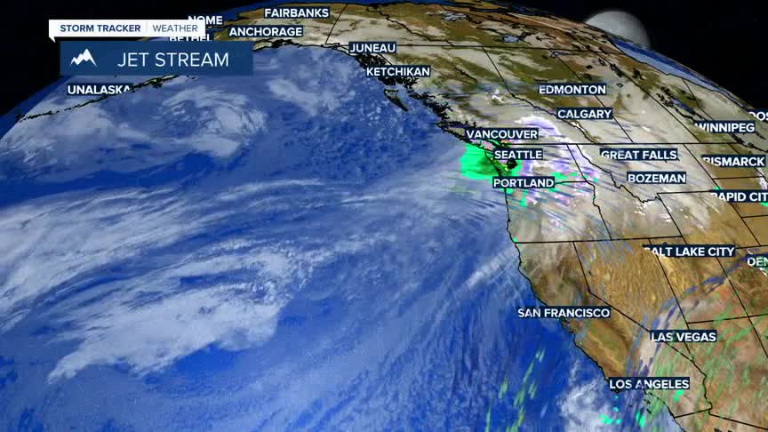


BOZEMAN – A blast of winter-like weather is rolling through the Pacific NW and heading into western Montana Tuesday afternoon.
There is a high probability of mountain snow with areas of heavy mountain snow west of the divide and down around Yellowstone National Park.
There are Winter Weather Advisories up west of the divide for the Butte/Blackfoot region Tuesday night through Wednesday morning for areas of snow and blowing snow.
A Winter Storm Warning remains in place for Lookout Pass in far west central Montana tonight into Wednesday morning. The combination of heavy snow and gusty winds will create difficult to hazardous travel conditions.
Colder air develops behind this storm, but the cold snap should be very short lived.Wednesday and Thursday temperatures will fall down to near normal levels.
A gradual warming trend will begin over the weekend and by early next week temperatures could once again rise between 10 to 15 degrees above seasonal levels.
