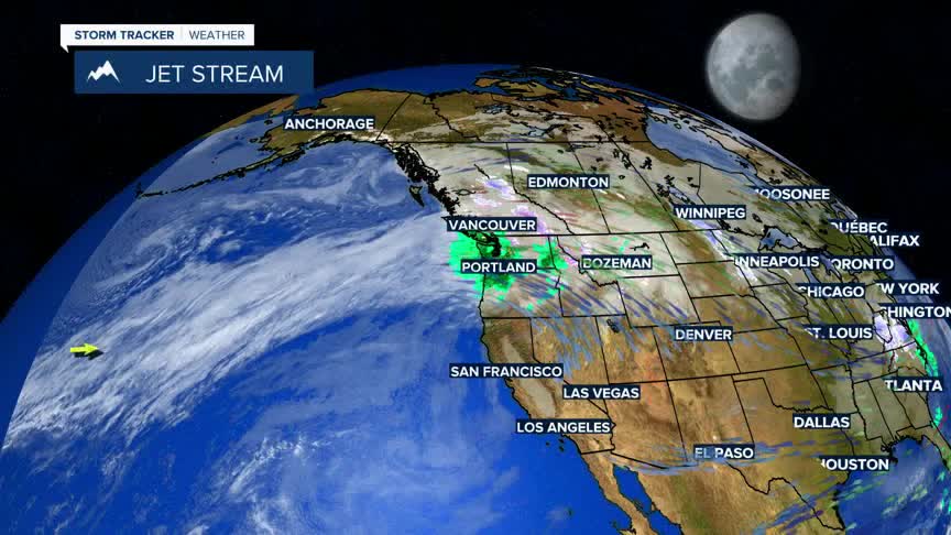


BOZEMAN – A powerful Atmospheric River will continue to impact the Pacific NW through the Northern Rockies over the next 3 to 5 days with a wide variety of conditions including heavy rain, heavy wet high mountain snow, and powerful peak wind gusts.
There are widespread winter weather highlights across the entire state Monday evening through Thursday afternoon.
Beginning with a High Wind Warning for central and eastern Montana and the Ennis area along with Livingston. Peak wind gusts up to 60 mph are possible, in Livingston up to 70+ mph peak gusts are possible Monday evening through Tuesday afternoon.
Next is a Winter Storm Warning for the Absaroka-Beartooth Range and across Yellowstone National Park Monday evening through Wednesday evening. 1 to 2 feet of snow is possible along with wind gusts as high as 70 mph.
The National Weather Service has issued a FLOOD WATCH for NW Montana and central Idaho Monday evening through Thursday afternoon. Moderate to heavy rain could lead to excessive snowmelt and cause flooding issues along streams, creeks, and roadways.
Forecast temperatures this week into next week will be running a good 10+ degrees above normal with morning lows running 15 to 25 degrees above normal. Highs will vary from the lower 40s to the low 50s with morning lows in the upper 20s to the mid 30s.
