


BOZEMAN – A slow transition into milder weather will take place Tuesday and Wednesday but overall temperatures will rise again to well above normal levels.
In fact, the 8 to14 day outlook shows the entire western half of the country could see well above normal temperatures through February 8th and below to well below normal precipitation.
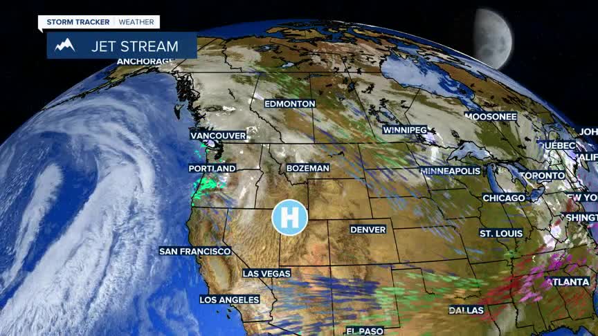
A new blocking High pressure ridge will develop over the central Rockies allowing Pacific storms to move back into the Pacific NW and lift over Montana. This in turn creates a mild west to SW flow aloft.
There is a slight chance for a few mountain snow showers Wednesday into Thursday.
Starting this weekend into most of next week forecast highs are in the 40s to low 50s with normal highs in the lower 30s.
