BOZEMAN – An active weather pattern will impact Montana and much of the Northern Rockies this week.
A blocking High-pressure ridge is parked over Colorado and a deep trough of Low-pressure is digging into Northern California. This type of a pattern will produce a strong SW flow aloft for Montana. Because this flow aloft will be moving very slowly to the east this week we will see a huge variety in weather conditions.
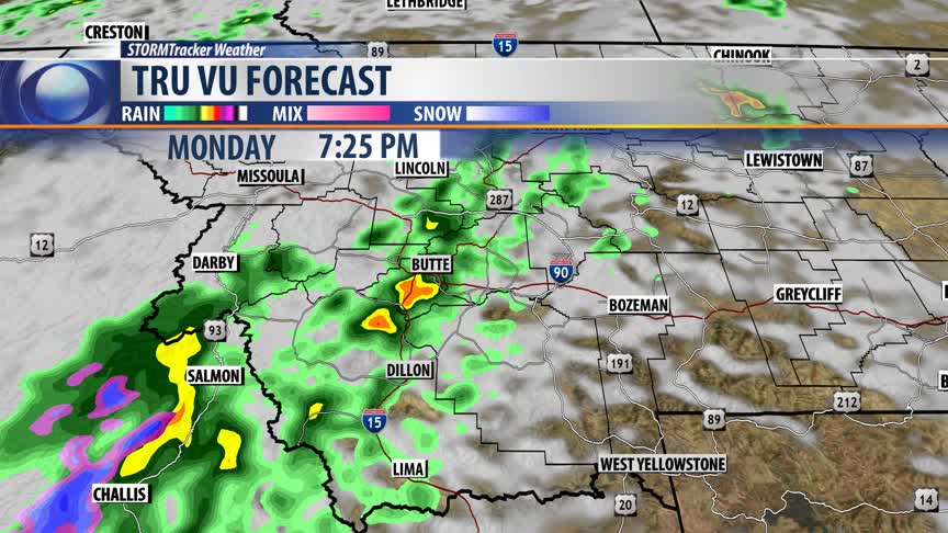
Showers and thunderstorms are expected to train over far western Montana this afternoon and evening. The Storm Prediction Center has a “marginal” risk for strong and possibly a few severe thunderstorms from Salmon, ID to Butte to Havre.
Brief heavy rain, small hail, frequent lightning, and possibly strong to severe outflow wind gusts are possible for SW Montana through 10 pm tonight.
The Storm Prediction Center has a “marginal” to “slight” risk for strong to severe thunderstorms Tuesday afternoon for central and northern Montana. The northern most areas of SW Montana are in the marginal risk area.
The Low over northern California will be lifting slowly to the NE this week and should produce widespread rain, mountain snow, and cooler temperatures for SW Montana Wednesday through Thursday.


