


BOZEMAN – A blast of winter-like weather today with a cold front producing short bursts of intense snow bands along with gusty surface wind. That combination did trigger a few Snow Squall Warnings across SW Montana.
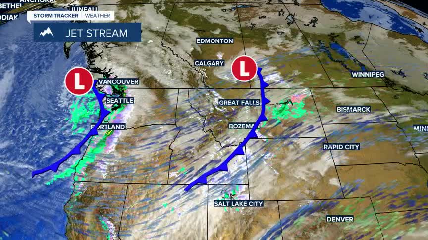
The next weather maker is over Washington State Wednesday afternoon and could bring another shot of snow and wind to Montana Wednesday night into Thursday. Watch for light valley snow accumulations and brief wind gusts which could produce slow-go travel conditions Thursday, but mountain passes will see a better chance for snow and wind on Thursday.
This active weather pattern is also producing cooler temperatures that will linger through Friday.
Over the weekend, a slow warming trend will begin and by early next week temperatures should jump into the well above normal range. In fact, forecast lows are expected to be warmer than normal daytime highs next week.
