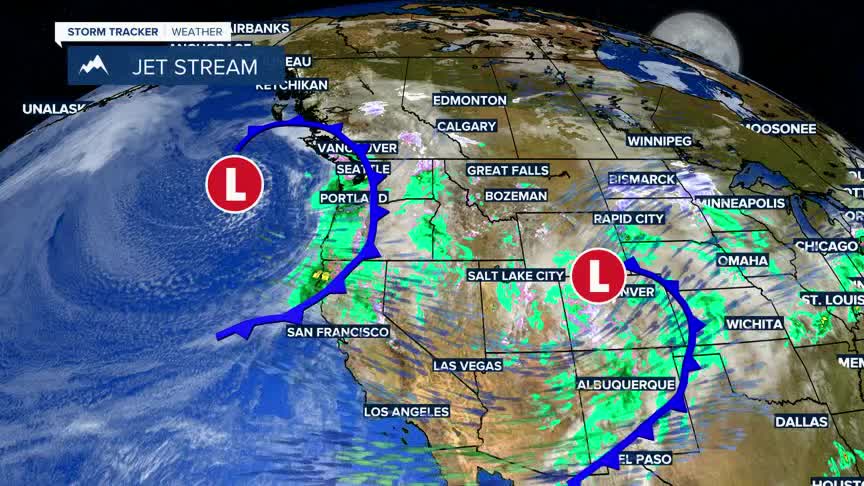


BOZEMAN – A Spring snowstorm arrives Thursday morning and will linger over southern Montana through Friday afternoon and far SE Montana through Saturday morning.
There is great potential for periods of heavy wet snow at pass level and higher with this storm system and light to moderate snow accumulations for lower valleys.
Be prepared for wintry travel conditions and slow-go travel hazards for Thursday afternoon through Friday afternoon.
The National Weather Service has issued a WINTER STORM WARNING from 9 am Thursday to noon Friday for the Madison and Gallatin Ranges and the Centennial Range along with Yellowstone National Park. The Absaroka-Beartooth Range will likely see a Winter Storm Warning issued soon.
In the Warning areas 6”-12” of snow is possible at pass level with well over a foot at higher elevations. There could be some localized wind gusts up to 40 mph.
The National Weather Service has issued a WINTER WEATHER ADVISORY for the northern half of Gallatin County including Bozeman Pass from 9 am Thursday to noon Friday.4”-8” of snow is possible at pass level, including Bozeman Pass.
The National Weather Service has a WINTER WEATHER ADVISORY up for the western half of SW Montana from 6 am Thursday to 6 am Friday. This includes the upper Big Hole region, Butte-Anaconda-Deer Lodge and Georgetown Lake to the Philispburg area, and MacDonald Pass.I-15 from Butte to Helena is also in the advisory area.
In the Advisory area look for 4”-8” of heavy wet snow above 5,500’. 1”-4” of lower valley snow is possible and localized wind gusts to 40 mph.
