


HAMILTON - The Hog Trough Fire burning on the Bitterroot National Forest has grew from 798 acres to 824 acres on Monday.
Meanwhile, containment on the blaze has grown from 41% to 44%.
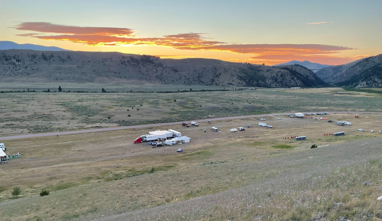
The blaze — which is 18 miles southeast of Hamilton — was discovered on July 17 and is burning in rugged and remote terrain.

No structures are currently threatened.
Fire managers report crews have nearly completed line from the 5070 Road and Medicine Lake.
Additionally, heavy equipment, chippers, and hand crews are working along the 75 Road to complete line towards the 711 Road.
Forest Service 75 (Skalkaho-Rye) Road is currently closed from the junction of Skalkaho Highway to near the Skalkaho Creek Trailhead. Forest Service 5071 Road is closed.
There are 420 people assigned to the Hog Trough Fire.
Road Closures:
- Skalkaho Road (Forest Service road 75) and Forest Service road 711 are both closed at the junction of Skalkaho Highway, including the ancillary roads leading from the 711 Road.
- Skalkaho Road is open past Mile Marker 5 (Skalkaho Creek-Jerry Lake Trailhead #503).
- Forest Service roads 5070 and 5071 are closed.
Trail Closures:
- Railroad Creek, National Forest System Trail #77 to Trail #313 at the gate.
- Weasel Creek, National Forest System Trail #156 from milepost 0.00 at its junction with NFSR #461.
- A section of the Bitterroot Rock Creek Divide Trail #313, National Forest System Trail #313 where it intersects Trail #77 Railroad Creek, Weasel Creek Trail #156.
- Skalkaho Creek – Jerry Lake Trail #503, National Forest System Trail #503
Beaverhead-Deerlodge National Forest Area Closure:
- See Closure Map and Closure Order for Pintler Ranger Station of the Beaverhead-Deerlodge National Forest Closure Area
Bitterroot National Forest Area Closure:
- See Closure Map and Closure Order for Darby Ranger Station of the Bitterroot National Forest Closure Area.
